Get Full Government Meeting Transcripts, Videos, & Alerts Forever!
Get email alerts on the Wildfire Safety topic
No spam. Unsubscribe anytime.
Cupertino council hears county Fire Safe Council briefing, adopts Cal Fire hazard-map update in first reading
Summary
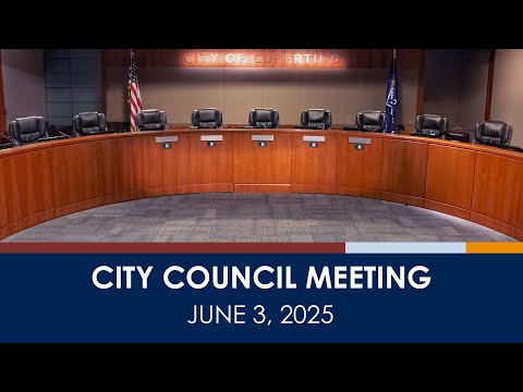
The Cupertino City Council on June 3 received a presentation from the Santa Clara County Fire Safe Council on wildfire programs and unanimously conducted the first reading of an ordinance to adopt Cal Fire27s updated fire hazard severity maps for the city.
The Cupertino City Council on June 3 received a presentation from the Santa Clara County Fire Safe Council on countywide wildfire programs and unanimously conducted the first reading of an ordinance to adopt Cal Fire27s updated fire hazard severity zone maps for the city.
The Fire Safe Council representative told the council the nonprofit helps lead large-scale fuel-reduction projects, technology pilots and community wildfire education across Santa Clara County and said the organization is managing two CAL FIRE grants totaling about $15,000,000 to treat roughly 2,000 acres in the Los Gatos Creek watershed. "We're managing about 2,000 acres of wildfire risk reduction in the Los Gatos Creek Watershed," the presenter said during the briefing.
The council later considered a staff report and presented the Cal Fire recommended map, which replaces Cupertino27s 2009 Wildland-Urban Interface map with a three-tier designation (moderate, high, very high). Staff, who recommended adopting Cal Fire's map with one technical change (assigning a single designation per parcel where parcels fell into more than one category), said the new map increases the acreage designated "very high" hazard while adding only about 180 acres overall. "It27s been a little over 15 years since this has been updated," Assistant Director Luke Connolly said while summarizing the change.
Under state law and as explained in staff comments, cities may not downgrade Cal Fire27s recommended designations but may add parcels. Staff said the city mailed notices to more than 3,000 affected property owners and that the updated map will make some properties subject to the same building- and defensible-space standards already applied to high and very-high zones.
City and county fire staff described the practical effects: properties in the very-high category will be subject to a 100-foot defensible-space inspection cycle administered through the city's Wildland-Urban Interface program; high zones typically get a 30-foot focus. County fire said the inspections are intended to identify hazardous vegetation and other conditions and to help property owners comply. Staff also described nonpunitive options: pre-sale or voluntary home-ignition-zone assessments and the county27s outreach resources.
Several residents urged the council to seek more avenues for relief or appeal. Ken Naylor, a Rancho Deep Cliff resident, described higher insurance costs and assessments after an insurer withdrew coverage for his community. "These ideas that they're presenting are expensive to people," Naylor said. San Ahr urged the council to press the county and private landowners, including quarry operators, to maintain lands to the west of the city and asked the council to limit new ordinance requirements to new construction rather than retrofit existing homes. Peggy Griffin asked how public properties such as Monte Vista and McClellan Ranch will be handled and whether the city will budget for costs associated with any required work.
Council members and staff repeatedly told the public that the map measures terrain- and fuel-driven hazard rather than insurance risk; staff explained that insurance companies use more detailed, parcel-level risk assessments (roofing, sprinklers, screening) when setting premiums. Staff also directed members of the public to Cal Fire and the Board of Forestry materials for details on the draft "zone 0" (five-foot) requirements, which remain in development at the state level.
Action: the council waived further reading and conducted the first reading of the ordinance adopting the updated fire hazard severity zone map; the motion carried unanimously. Staff said the ordinance amends municipal code chapters that reference the city27s hazard map and that building-standards changes would apply to parcels designated by the map; staff also said most code standards for "high" and "very high" are treated the same under the city's existing code. The city attorney and staff said state Government Code provisions (which govern the map-adoption timeline and limit local downgrades) apply to this process.
The council and county fire staff said the city will continue public outreach, offer voluntary assessments, and coordinate with county, state and utility partners on vegetation management and fuel-reduction projects. Council members asked staff to follow up with written information about timelines, inspection notices and support available to residents.
Ending: Staff said more detailed guidance documents and the county27s defensible-space resources will be posted and distributed; the council said it will accept written questions from residents for additional follow-up.