Get Full Government Meeting Transcripts, Videos, & Alerts Forever!
Carlsbad council introduces ordinance to adopt state fire hazard severity zone map
Summary
The City Council voted unanimously to introduce an ordinance adopting the California fire hazard severity zone map and discussed outreach, insurance concerns and community wildfire mitigation steps.
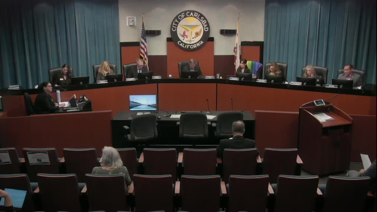
The Carlsbad City Council on Monday introduced an ordinance to adopt the California Department of Forestry and Fire Protection (Cal Fire) fire hazard severity zone maps, a state-mandated map update that expands areas classified as moderate, high and very high wildfire hazard.
Fire Chief Michael Calderwood said the state transmits the maps and local agencies must adopt them; jurisdictions may expand designated areas but may not reduce the acreage the state designates. “Adoption of the map itself is not an option. It is a requirement,” Calderwood said.
Council members pressed staff on what the new designations mean for residents, insurance and local outreach. Division Chief Darcy Davidson described how the updated modeling includes ember production and transport and that mapped zones now account for flying embers that can travel more than two miles in strong winds. She said…
Already have an account? Log in
Subscribe to keep reading
Unlock the rest of this article — and every article on Citizen Portal.
- Unlimited articles
- AI-powered breakdowns of topics, speakers, decisions, and budgets
- Instant alerts when your location has a new meeting
- Follow topics and more locations
- 1,000 AI Insights / month, plus AI Chat