Get Full Government Meeting Transcripts, Videos, & Alerts Forever!
Get email alerts on the Wildfire Mitigation topic
No spam. Unsubscribe anytime.
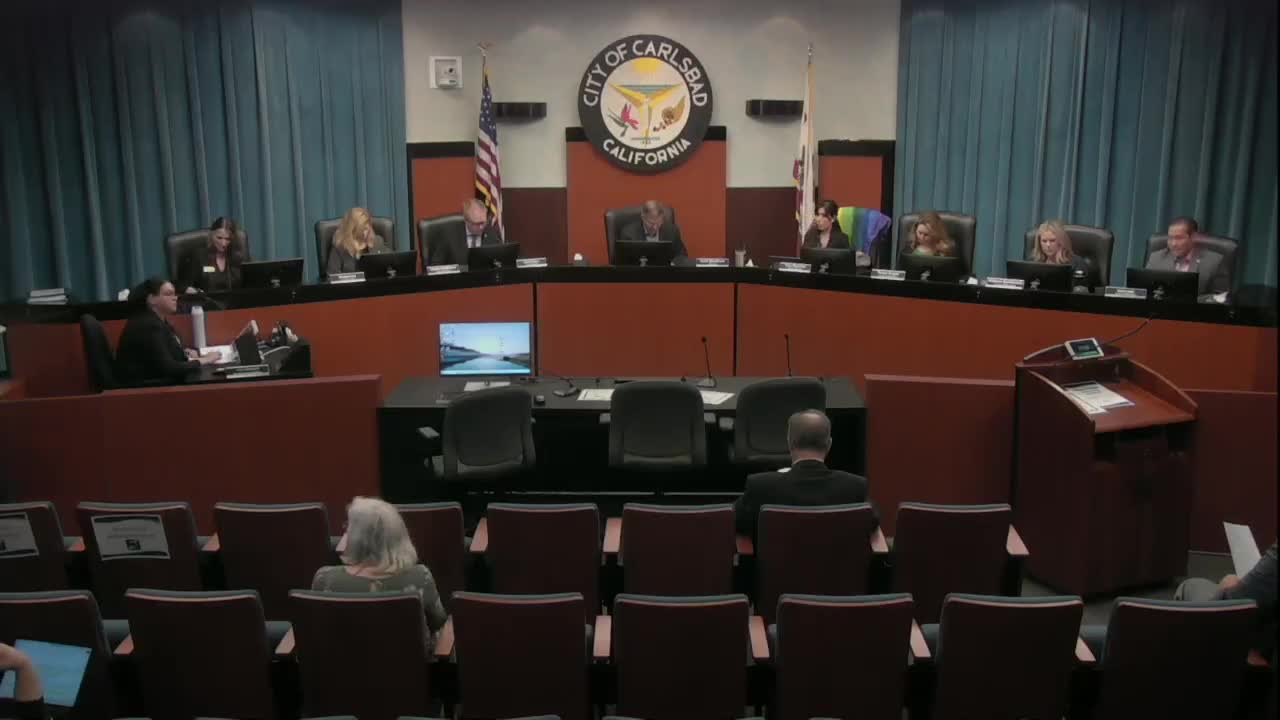
Carlsbad council introduces ordinance to adopt state fire hazard severity zone map
Summary
The City Council voted unanimously to introduce an ordinance adopting the California fire hazard severity zone map and discussed outreach, insurance concerns and community wildfire mitigation steps.
The Carlsbad City Council on Monday introduced an ordinance to adopt the California Department of Forestry and Fire Protection (Cal Fire) fire hazard severity zone maps, a state-mandated map update that expands areas classified as moderate, high and very high wildfire hazard.
Fire Chief Michael Calderwood said the state transmits the maps and local agencies must adopt them; jurisdictions may expand designated areas but may not reduce the acreage the state designates. “Adoption of the map itself is not an option. It is a requirement,” Calderwood said.
Council members pressed staff on what the new designations mean for residents, insurance and local outreach. Division Chief Darcy Davidson described how the updated modeling includes ember production and transport and that mapped zones now account for flying embers that can travel more than two miles in strong winds. She said the new maps increase acreage in Carlsbad mapped as very high from about 4,840 acres in 2009 to approximately 8,170 acres in the updated maps and add nearly 4,300 acres of high and 1,800 acres of moderate hazard zones.
The ordinance would amend the Carlsbad Municipal Code to formally designate moderate, high and very high hazard severity zones within the city and implement an approach that classifies a structure in the most severe zone that overlaps it. “When multiple fire hazard severity zones overlap a structure… the structure’s designation is based on the most severe zone overlapping that structure,” Davidson said.
Why it matters: the designations trigger additional requirements for new construction and real estate disclosures, and they change which properties are formally identified for defensible-space rules and state minimum fire-safe regulations, including road widths and water supply standards. Davidson and Calderwood emphasized that the maps represent long-term hazard conditions and do not automatically reflect short-term local mitigation such as fuel reduction or home hardening.
Councilmembers asked about predeployment during Santa Ana wind events, community education resources and whether homeowners in mapped zones would be proactively notified. Calderwood described predeployment and mutual-aid strike teams coordinated through state Office of Emergency Services and said the fire department will continue community workshops, Firewise outreach and in-person home assessments for at-risk properties. Staff said they will also pursue additional outreach options, including partnering with the California Department of Insurance for community events to address insurance questions.
Votes at a glance: The council voted unanimously to introduce the ordinance (see Actions for full details). The meeting also approved consent items 1–10, adopted an unnamed ordinance (item 12) and adopted two resolutions accepting annual work plans from the Planning Commission and Historic Preservation Commission (item 13); those items passed unanimously.
City staff and the fire department urged neighborhood participation in Firewise USA programs and described planned community workshops funded through the city’s wildfire mitigation budget. Davidson said neighborhoods recognized by Firewise sometimes negotiate reduced insurance premiums and that the department will continue to offer home assessments and targeted outreach.
The council set the ordinance for formal adoption at the next meeting under the timeline imposed by state law. State rules require transmittal of the adopted ordinance to the state within 30 days after adoption.