Get Full Government Meeting Transcripts, Videos, & Alerts Forever!
Get email alerts on the Land Use And Parcel Disposal topic
No spam. Unsubscribe anytime.
MBTA parcel, zoning and Main Street losses highlighted as key economic-development issues in Lakeville
Summary
Committee members raised the MBTA station parcel, zoning constraints, Main Street business closures and need for an interactive zoning map and updated business resources as priority issues for the Economic Development Committee to address.
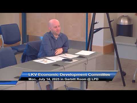
Committee members used the July 14 meeting to identify near-term economic-development priorities, including the MBTA station parcel, zoning constraints along Route 105/Main Street, recent business closures and the lack of an accessible interactive zoning map for prospective investors.
Town Administrator Andy Shukwoff said the MBTA has signaled it may sell or lease about five acres of the Lakeville station property and is seeking community feedback on future use. “We got word from the MBTA that they wanna somehow, either sell or lease the MBTA Train Station property, about 5 acres of it for whatever they wanna do with it,” Shukwoff said. He said the MBTA plans to retain about 200 parking spaces for seasonal Cape Flyer service and that the parcel is currently zoned industrial; he also said parts of the station parcel cross into Middleborough and that the land is state-owned.
Committee members discussed the recent pattern of retail and branch closures on Main Street — including a Walgreens and an Eastern Bank branch — and the long-closed bowling alley property, and noted multiple proposed or stalled housing projects in the corridor, including a comprehensive permit for 458 units that is currently at a standstill. Committee members flagged emergency-services impacts from recent housing completions nearby and the potential for additional housing to increase demands on town services.
Members said transport and sewer capacity are recurring constraints cited by potential retailers and grocers; participants recalled a past survey distributed with tax bills (2013–14) that showed resident interest in mixed-use, grocery-anchored redevelopment of major parcels. Laurie Driscoll and others agreed prior surveys, a prior seven-page business guide and market assessments used by neighboring towns should be assembled and provided to the committee and future consultants.
The group also discussed the zoning map packet provided for the meeting and recommended developing a clearer, interactive online zoning and GIS tool so prospective businesses can identify parcels and get property information quickly. Planning information and any zoning map changes would require public hearings and a town meeting vote, members noted.
No formal land-use approvals were sought at the meeting; members identified these topics as priorities for research and inclusion in a future consultant scope if the town’s planning grant is awarded.