Get Full Government Meeting Transcripts, Videos, & Alerts Forever!
Riverbank holds informational session on 1,522‑acre ‘Riverwalk’ specific plan as concerns over water, flooding and farmland surface
Summary
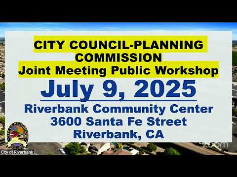
Riverbank officials and the project team held an informational joint City Council and Planning Commission meeting on the proposed Riverwalk specific plan — a multi‑phase project covering roughly 1,522 acres and seeking annexation of about 997 acres — and said the final environmental impact report is nearing completion; no entitlements were considered tonight.
Riverbank officials and the project team gave an informational briefing on the proposed Riverwalk specific plan — a multi‑phase project covering roughly 1,522 acres that would include an approximately 997‑acre area proposed for annexation and specific‑plan zoning — and said the city is preparing a final environmental impact report before any entitlements are considered.
The presentation was led by Director of Community Development Josh Mann and Steve McMurtry, principal planner with De Novo Planning Group, who summarized the specific plan, infrastructure proposals and the environmental review process. Mann said the meeting was for information only: "Tonight's presentation is not intended to be a public hearing." McMurtry told the joint City Council and Planning Commission that the draft EIR process has produced a lengthy technical record and that the final EIR and associated responses to comments are nearly complete.
Why it matters: the Riverwalk application requests a suite of long‑range approvals that would change the city boundary and land‑use designations if approved — including a sphere‑of‑influence amendment, partial annexation, pre‑zoning, a general plan amendment and adoption of a specific plan — and would set the framework for later subdivision maps, infrastructure construction and development agreements. Council and commission members and many residents said the proposal raises questions about groundwater and surface water supply, flood risk and loss of prime farmland.
Project scope and entitlements The project site as presented covers about 1,522 acres; the applicant proposes annexing roughly 997 acres and leaving about 520 acres designated as a reserve area within the requested sphere of influence expansion. Mann summarized the plan's land‑use breakdown: roughly 467 acres of low‑density residential, about 79 acres of medium‑density residential, roughly 10 acres of high‑density residential, about 67 acres of mixed use, and approximately 43 acres of parkland. Rights‑of‑way inside the plan were shown as about 63.4 acres. Mann summarized the applicant's entitlement requests as including a sphere of influence amendment, municipal service review (MSR) update, general plan amendment, pre‑zoning, annexation, adoption of a specific plan, a vesting…
Already have an account? Log in
Subscribe to keep reading
Unlock the rest of this article — and every article on Citizen Portal.
- Unlimited articles
- AI-powered breakdowns of topics, speakers, decisions, and budgets
- Instant alerts when your location has a new meeting
- Follow topics and more locations
- 1,000 AI Insights / month, plus AI Chat