Get Full Government Meeting Transcripts, Videos, & Alerts Forever!
Get email alerts on the Critical Areas Ordinance topic
No spam. Unsubscribe anytime.
Skagit County holds work session on draft Critical Areas Ordinance; public hearing set for July 28
Summary
County planning staff and consultants reviewed a comprehensive update to the Critical Areas Ordinance (CAO) on July 7, highlighting 'no net loss' protections, a shift to prioritize reasonable use exceptions over variances, mapping challenges, and a July 28 public hearing.
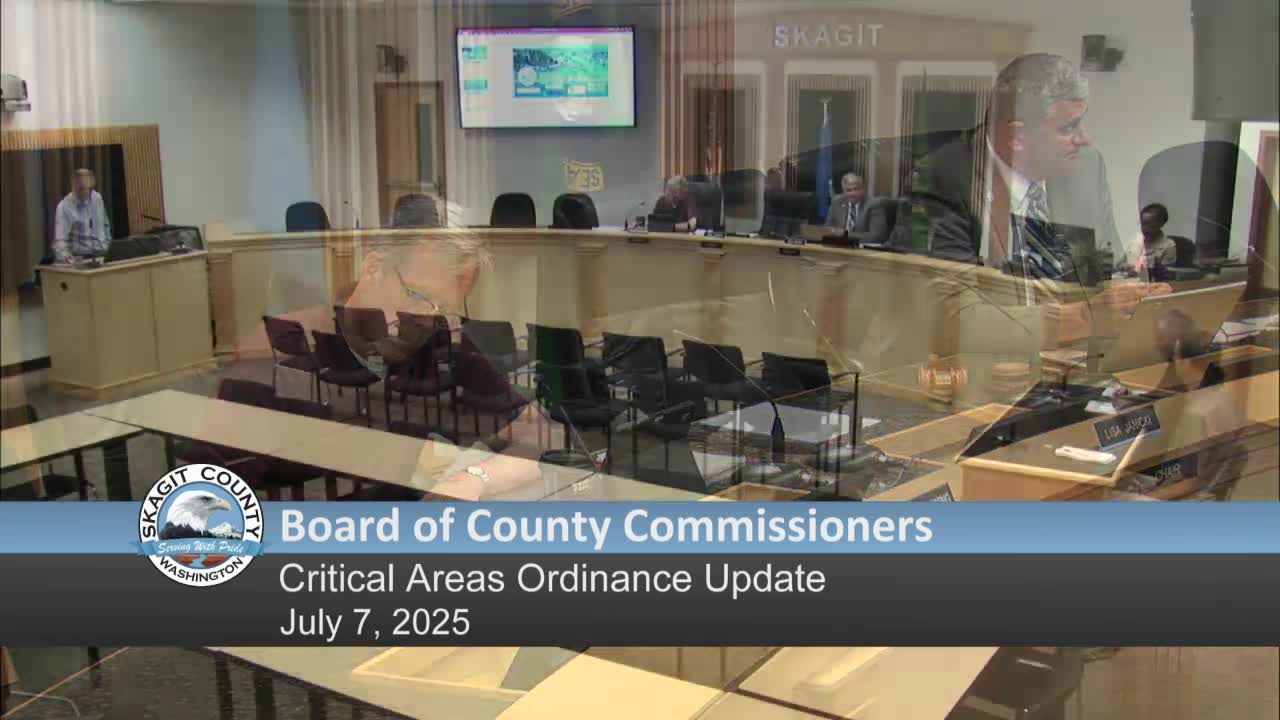
Skagit County Planning and Development Services and consultant Bassett presented a work session July 7 on a draft update to the county Critical Areas Ordinance (CAO). The board received a detailed overview of proposed changes, the planning commission’s recommendations and a schedule for public hearings.
Dan Nickel of Bassett, the county’s consultant on the CAO update, summarized supporting materials available online including a best-available-science report and a gap analysis comparing proposed code revisions to the science recommendations. Nickel said the draft addresses the five GMA-listed critical area types — wetlands, critical aquifer recharge areas, fish and wildlife habitat conservation areas (including streams), frequently flooded areas, and geologically hazardous areas — and incorporates the policy goal of “no net loss” of critical-area functions and values.
Nickel and staff described several substantive document changes: reorganized code structure for clarity, greater emphasis on a reasonable use exception before a variance process (intended to streamline development review when a property is significantly encumbered by critical areas), updated aquifer recharge language, and adjusted allowances to recognize existing protected critical-area footprints for redevelopment. The planning commission recommended incorporating 17 staff changes, clarifying language related to tide estuaries, removing the term “short plat” from a habitat corridor requirement (an edit staff noted was missing from the packet and will be corrected), and improving public access to mapping.
Commissioner Janicki pressed staff on making records and maps more accessible to property owners and future buyers. Nickels and Andy Wargo, a county natural resources planner, said many useful datasets are maintained by state agencies (Department of Ecology, Department of Fish and Wildlife, Department of Health) and acknowledged county mapping has limits: some wetlands and other resources are not yet inventoried. Nickel said staff will continue to rely on site-specific assessments for permit review and that qualified professionals typically perform detailed field assessments when required.
Staff identified upcoming steps: a public hearing on the draft CAO scheduled July 28 and further board discussion and possible action on Aug. 4. Commissioners were asked to review materials in advance; staff said the draft and supporting documents are posted online.