Get Full Government Meeting Transcripts, Videos, & Alerts Forever!
Get email alerts on the Public Safety Fire topic
No spam. Unsubscribe anytime.
Council adopts CAL FIRE's 2025 fire hazard severity map into city code; staff says mitigation and outreach will follow
Summary
Council introduced Ordinance No. 2986 to adopt CAL FIRE's 2025 fire hazard severity zones; staff said the map updates are part of routine state mapping, apply to new construction in designated zones and trigger building‑code enhancements for ember‑resistant design and defensible space.
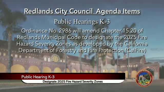
The Redlands City Council introduced Ordinance No. 2986 to amend Chapter 15.2 of the Redlands Municipal Code and incorporate the California Department of Forestry and Fire Protection's (CAL FIRE) 2025 fire hazard severity zones for local responsibility areas.
Fire marshal presentation: Fire marshal Vince Anderson explained that the wildfire severity maps are produced by CAL FIRE using field fuel loading, slope, fire weather and wind patterns. He said the 2025 update expanded some mapped areas compared with earlier maps, primarily near the Santa Ana Wash and northern city edges, and stressed the purpose is to identify hazards and apply risk‑reduction standards. Anderson quoted a common phrase used by wildfire professionals: "Fire is everyone's fight," and outlined how building standards for new construction in designated zones could include more fire‑resistant roofs, double‑pane windows, ember‑resistant details and enhanced landscape management to reduce ignition risk.
Limitations and effects: Anderson told council that local agencies may only increase — not decrease — mapped severity zones when CAL FIRE updates the statewide maps (citing Government Code section 51179 as the statutory framework referenced in the presentation). He emphasized that the designation primarily affects new construction in mapped zones and that the city will work with other departments on permit checklists and inspections.
Public comment and insurance concerns: Public commenters thanked the fire department for outreach but raised concerns about the map's effect on homeowners' insurance. Bruce Laycock said he had been dropped by a private insurer despite living in an area the city's map labels as low hazard and urged the council to press state regulators and the insurance commissioner to prevent insurers from using hazard maps as a pretext to cancel policies. Council members asked staff about hydrant pressure and water‑supply redundancy; staff answered that backup generation, tank capacity and coordination with water system operators are in place and that additional infrastructure improvements are under study.
Council action and next steps: Council introduced the ordinance and voted in favor of moving it forward. Staff said next steps include publishing the adopted map references, updating building permit checklists for construction within designated zones and continuing public outreach about defensible space and retrofit strategies.
Ending: The fire marshal and planning staff will prepare educational materials for residents in newly mapped areas and coordinate with the state insurance office and utility partners as questions about insurance and power reliability arise.