Get Full Government Meeting Transcripts, Videos, & Alerts Forever!
Get email alerts on the Redistricting topic
No spam. Unsubscribe anytime.
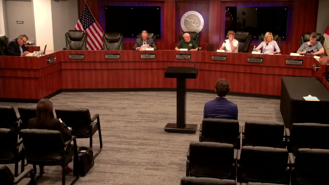
Winter Springs districting commission adopts 'Scenario 4' for city commission boundaries
Summary
The Winter Springs Districting Commission voted unanimously May 15 to adopt Scenario 4, a redrawn map of the city's five commission districts intended to equalize voting-age populations within legal deviation limits. The map will be placed into ordinance form and sent to the City Commission.
The Winter Springs Districting Commission voted unanimously on May 15 to adopt “Scenario 4,” a revised map of the city’s five commission districts designed to bring voting-age population counts within required deviation limits.
Parker Hines, a GIS and planning analyst at the East Central Florida Regional Planning Council, presented four alternative maps and the underlying population analysis. Hines said the team used 2020 census blocks as the base, supplemented by certificates of occupancy issued from February 2021 through September 2024 to estimate population changes since the last redistricting. "My name is Parker Hines, and I'm a GIS and planning analyst at the East Central Florida Regional Planning Council," he said while describing the analysis.
The commission’s authority to reassess district boundaries every three years comes from Section 2.04 of the Winter Springs city charter; Hines and City Attorney Anthony A. Garganese explained the legal standard the commission uses. "The sole purpose of the Districting Commission ... is to review the district boundaries for city, for the 5 city commissioners," Garganese said, noting the commission seeks to keep each district within roughly 5% of the optimal population and to avoid introducing unacceptable deviation between the least and most populous districts.
Why Scenario 4: Hines’ tables showed the optimal voting-age population at 6,192 and the optimal total population at 7,825. The consultant said District 3 previously exceeded the 5% threshold for total population and that Scenario 4 produced the most even distribution of voting-age population among the five districts (all deviations under about 1%). Hines told the commission the redistricting work was done at the census-block level and that the team did not split census blocks when moving pieces between districts; the team used a Redistricting for ArcGIS tool to iterate maps and see real-time statistics.
Commission discussion focused on two competing goals: minimizing how many lines move (fewer physical changes to boundaries) versus achieving the most even voting-age distribution. Commissioner Michael Blake said he favored a minimal-impact approach but ultimately moved to adopt Scenario 4 because it produced the most even voting-age populations and the smallest single-district net change among the alternatives. "I would tend to suggest to the committee that alternative 4 would provide us with the most level districts in terms of voting age population and would create the smallest deviations or variances from our current position," Blake said.
Motion and vote: Commissioner Michael Blake moved to adopt Scenario 4; the motion was seconded by Commissioner Hovey. With no members of the public requesting to speak, the commission voted 6-0 to approve the map. The roll call at the vote recorded: Commissioner Michael Blake (yes), Commissioner Steve Steven Francis (yes), Commissioner Hovey (yes), Commissioner Lambie (yes), Vice Chair Jeff Kendrick (yes) and Chair Art Gallo (yes). Commissioner Christopher Riggs was recorded as absent earlier in the meeting.
Other meeting business and next steps: Earlier in the meeting the panel selected Art Gallo as chair and Jeff Kendrick as vice chair. The commission authorized the chair to sign the minutes to complete the record for this session. City staff and the city attorney said the adopted map will be placed into ordinance form and presented to the City Commission in the near future; that ordinance presentation is the next formal step, according to the city attorney.
Details and methods: Hines said the consultant estimated total-population changes for census blocks by multiplying certificates-of-occupancy counts by Seminole County’s persons-per-household figure (2.54). The consultant reported approximately 731 people added to the city in the certificate-of-occupancy window used for the analysis; Hines described that figure as a net change (adds minus losses) and noted construction still planned but only units with certificates were counted. The maps used identifiable local streets and natural breaks — including Winter Springs Boulevard and State Road 434 — as reference lines when practical, and the team emphasized contiguity and cohesion when possible.
Outcome and public record: By adopting Scenario 4 the Districting Commission completed the assignment required by the city charter for 2025. The commission’s recommendation will be transmitted to the City Commission as an ordinance-ready map for final action or further review.