Get Full Government Meeting Transcripts, Videos, & Alerts Forever!
Get email alerts on the Trails Master Plan topic
No spam. Unsubscribe anytime.
Design Workshop outlines Trails Master Plan update; public engagement phase set for May–July
Summary
Consultant Design Workshop presented an update on the San Ramon Trails Master Plan, describing an inherited network of steep, ranch‑road trails and a program of community outreach, heat‑map analysis, and draft recommendations; the presentation was informational and required no commission action.
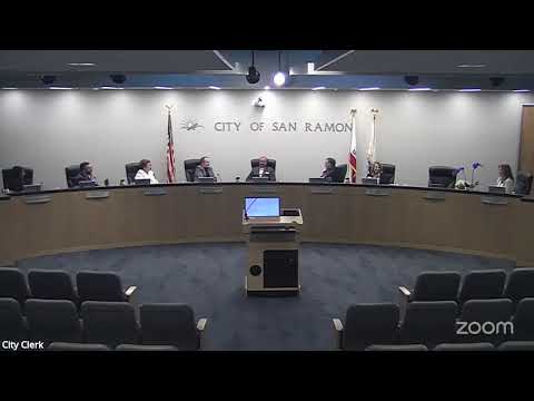
Design Workshop presented an update on plans to create a San Ramon Trails Master Plan at the Parks and Community Services Commission meeting on May 14. The presentation was informational: the consultant described the project scope, preliminary findings and a public engagement schedule and asked the commission for feedback.
Design Workshop principal Ben Fish summarized the team’s early assessment: the city’s off‑street trails are an “inherited system of old ranch roads” with many steep grades that limit accessibility and comfort for many users. The study team said a backbone network exists — including the Iron Horse Trail and expanses of open space — but that many existing off‑road alignments exceed comfortable trail gradients and lack loops, signage and consistent wayfinding.
Public engagement and schedule
The consultant proposed a public survey to launch in late May and run through July, combined with in‑field outreach at summer events (concerts, runs and the Art & Wind Festival) and coordinated stakeholder engagement with East Bay Regional Parks, neighboring cities (Danville, Dublin) and local community groups. Preliminary recommendations and a draft plan are planned later this summer, with a final master plan targeted for October.
Key technical points
- Slope and design constraints: several of the most used trails feature sustained grades above 10 percent; consultant maps showed grade profiles and suggested opportunities to realign or reroute sections to achieve more gradual gradients.
- Use patterns: user‑generated heat maps show that bicyclists concentrate on streets and paved corridors while pedestrians venture more into the open‑space singletrack; the consultant said design choices should reduce conflicts by favoring multi‑use alignments in some places and separate facilities in others only where appropriate.
- Accessibility: the team said it will evaluate accessible‑trail guidelines, national/state standards and local conditions to identify specific accessible loops and trailheads with firm, stable surfaces where feasible.
- Trailheads and parking: the scope includes assessing trailhead capacity and staging-area parking where demand exists.
Why it matters
Commissioners and staff emphasized the plan’s role as an implementation roadmap: recommended alignments, cost estimates, maintenance guidelines, prioritization and funding strategies will help the city and external partners coordinate future trail projects. Funding and long‑term maintenance were identified as core challenges to be addressed through the plan and stakeholder coordination.
Next steps
Design Workshop will finalize the public survey and outreach plan, begin collecting community feedback in late May and prepare preliminary recommendations for commission review in summer 2025. The consultant stressed that the final plan will prioritize projects, refine cost estimates and include implementation and maintenance guidance.
Ending
The presentation was for information only; commissioners offered clarifying questions and asked staff to ensure robust, inclusive public outreach that reaches non‑digital audiences and community‑based organizations.