Get Full Government Meeting Transcripts, Videos, & Alerts Forever!
Commissioners weigh downtown transition zone, parking relief and floodplain limits for revitalization
Summary
Commissioners reviewed the future land use map and discussed creating a commercial corridor along Highway 44 with a transitional mixed-use band behind it; they also considered loosening parking requirements in the urban renewal corridor and noted floodplain constraints on downtown redevelopment.
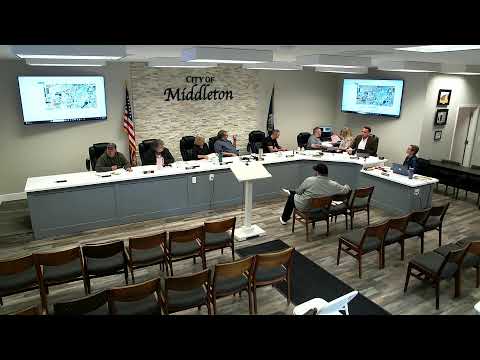
At a workshop session, Middleton planning staff and commissioners discussed updating the zoning map to match the city's future land use map (FLUM) along the Highway 44 corridor, creating a commercial-only strip on the highway frontage and a transitional mixed-use band behind it to support downtown revitalization.
City Planner pointed to the FLUM and said the plan shows a mix of commercial and higher-density residential uses near downtown. The planner noted that converting frontage to strictly commercial while allowing a blend of apartments, townhomes and small office or live-work spaces behind the corridor would "create a twilight blending" between commercial and residential areas.
Commissioners asked staff to consider easing off-street parking requirements within…
Already have an account? Log in
Subscribe to keep reading
Unlock the rest of this article — and every article on Citizen Portal.
- Unlimited articles
- AI-powered breakdowns of topics, speakers, decisions, and budgets
- Instant alerts when your location has a new meeting
- Follow topics and more locations
- 1,000 AI Insights / month, plus AI Chat