Get Full Government Meeting Transcripts, Videos, & Alerts Forever!
Get email alerts on the Downtown Transitional Parking Floodplain topic
No spam. Unsubscribe anytime.
Commissioners weigh downtown transition zone, parking relief and floodplain limits for revitalization
Summary
Commissioners reviewed the future land use map and discussed creating a commercial corridor along Highway 44 with a transitional mixed-use band behind it; they also considered loosening parking requirements in the urban renewal corridor and noted floodplain constraints on downtown redevelopment.
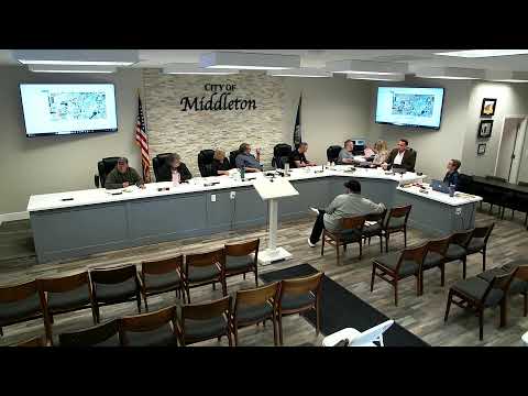
At a workshop session, Middleton planning staff and commissioners discussed updating the zoning map to match the city's future land use map (FLUM) along the Highway 44 corridor, creating a commercial-only strip on the highway frontage and a transitional mixed-use band behind it to support downtown revitalization.
City Planner pointed to the FLUM and said the plan shows a mix of commercial and higher-density residential uses near downtown. The planner noted that converting frontage to strictly commercial while allowing a blend of apartments, townhomes and small office or live-work spaces behind the corridor would "create a twilight blending" between commercial and residential areas.
Commissioners asked staff to consider easing off-street parking requirements within the urban renewal corridor to make rehabilitation of small downtown lots more feasible. The planner walked through the city code parking matrix and cited the typical parking standard in Title 4: for retail/office uses the code requires roughly one parking space per 300 square feet of gross floor area. Several commissioners and a staff speaker suggested lightening parking rules in the downtown corridor, or working with urban renewal to exempt parts of the urban renewal district from some parking requirements, so small commercial properties can be reused without repeated variances.
Floodplain and floodway constraints were raised as a major practical limit on downtown redevelopment. Staff identified Willow Creek as a downtown watercourse that drives floodplain and floodway boundaries through the central business area and several recent or proposed projects. Staff said development in floodplain/floodway requires elevation certificates, surveys and, in some cases, certificates of no-rise; these are costly and can require buildings to be raised above base flood elevation, which can increase construction and insurance costs.
Staff and commissioners also reviewed specific parcels in the downtown core (for example, lots near Ridley's and the Village) and discussed the potential for privately provided parking lots, shared parking behind buildings, and market-driven solutions if parking requirements are relaxed in the corridor. City staff noted some lots downtown are commercially zoned but function as nonconforming uses (residential or dilapidated structures) and said adjusting zoning and setbacks could encourage redevelopment.
No formal policy or ordinance was adopted at the workshop. Staff and commissioners agreed to explore (1) revising the zoning map to reflect a commercial frontage with transitional mixed-use behind it along Highway 44, (2) drafting options to relax off-street parking requirements inside the urban renewal district or specified corridor segments, and (3) clarifying floodplain-related permitting and design guidance for downtown projects.
Ending: Staff will prepare code options and a zoning map amendment proposal for commission review that would include parking relief options for a defined downtown corridor, and explain floodplain permitting implications for potential redevelopment.