Get Full Government Meeting Transcripts, Videos, & Alerts Forever!
Get email alerts on the Rezoning topic
No spam. Unsubscribe anytime.
Indian River County panel approves rezoning of Sage Cottage parcel to allow low‑density multifamily
Summary
The Indian River County Planning and Zoning Commission on May 8 approved rezoning about 13.2 acres of a 23.5‑acre parcel from RS6 (single‑family) to RM6 (multifamily), unifying split zoning and keeping the site’s L2 future‑land‑use designation intact. Staff recommended approval; the vote was unanimous.
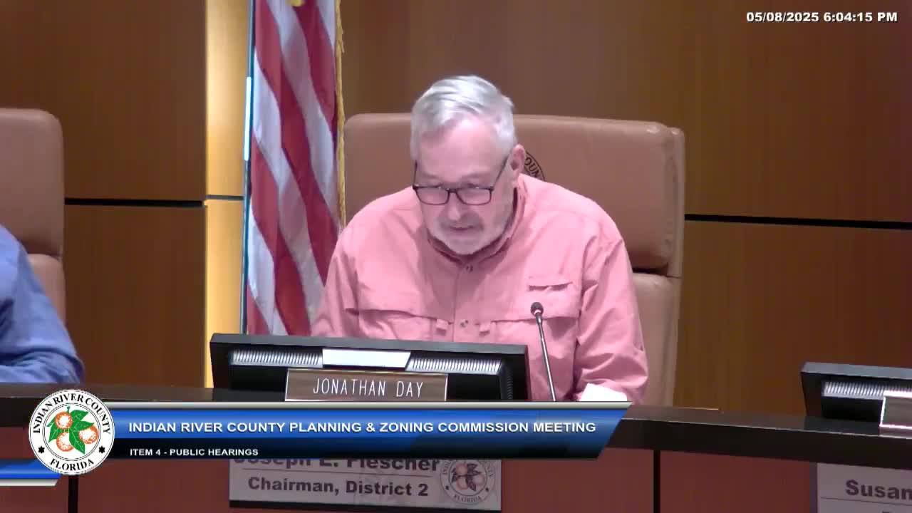
VERO BEACH, Fla. — The Indian River County Planning and Zoning Commission voted May 8 to rezone about 13.2 acres of a 23.5‑acre parcel on Oslo Road from RS6 (single‑family residential) to RM6 (multifamily residential), a change staff said would unify a split zoning pattern and remains consistent with the county's L2 future‑land‑use designation.
County staff presented the request and recommended approval. Patrick Murphy, chief of long range planning, introduced the item and turned the presentation over to Lawrence Andrews, the county's long range planner and impact fee planner, who described the site and analysis.
Andrews said the rezoned area is on the south side of Ninth Street (Oslo Road), roughly a half mile west of Seventh Road Southwest and about a mile from U.S. Highway 1. The applicant proposed changing the south half of the larger parcel — about 13.2 acres — from RS6 to RM6 so the entire tract would carry the same zoning. The county's future land use map classifies the site as L2 (low‑density residential); both RS6 and RM6 are permitted in L2, so no future‑land‑use amendment was required, Andrews said.
Staff reviewed criteria in the county's land development regulations and told the commission the request did not conflict with applicable provisions and met the county's concurrency requirements for roads, potable water, sewer, solid waste, drainage and recreation. Under the county's most intense‑use calculation for RM6 (6 units per acre), staff estimated the parcel's maximum buildout at 141 units; a more detailed concurrency and environmental review will be required if a site‑specific development is proposed.
Patrick Murphy said corrected map attachments were emailed to commissioners the day before the meeting and that the corrections were typographical only. "There was some typos in the attachments, the maps. So we amended those attachments to make sure you had the most up to date accurate data. Some of the acreage numbers were overlooked, and the map didn't add up so it didn't change anything materially within the staff report whatsoever," Murphy said.
In public comment, Rebecca Grohau of MBV Engineering, representing the property owner Sage Cottage Land Company LLC, thanked staff and asked for the commission's approval. "I'm very pleased to be here tonight on behalf of the property owner... Staff did a great job presenting it and I'm here to answer any questions you might have tonight and ask for your support and approval," Grohau said.
A resident, Steve Meyer, spoke against additional rental housing in the county while saying he would support condominium ownership. "I don't think we need any more rental property in the county," Meyer said.
After brief commissioner questions about the amended materials and the parcel's zoning history, the commission voted; the motion to approve the rezoning passed unanimously.
What the decision means going forward
The rezoning approval unifies the parcel under RM6 and does not change the site’s future land use. Any future development application would undergo a separate site‑specific review that could include concurrency checks, required fees, detailed traffic and environmental studies, and other conditions spelled out in the county's land development regulations. Staff noted environmental and stormwater analyses will be required at the development review stage.
Commissioners also discussed related planning matters during the meeting: staff said the county maintains a working map of active development projects (those with land development or building permits) but does not maintain a historical map showing the year every neighborhood was developed; property appraiser records and recorded plats are alternative sources for historical build dates. A discussion about stormwater practices noted that centralized stormwater treatment ponds became more common in local subdivision design beginning in the 1990s as state environmental requirements evolved.
The Planning and Zoning Commission will forward its recommendation to the board or follow the county's established permitting and review steps if the applicant files for site plan or construction permits.