Get Full Government Meeting Transcripts, Videos, & Alerts Forever!
Utah insurance commissioner: companies must use state forester maps for wildfire risk assessments; ZIP‑code data collection planned
Summary
Utah Insurance Commissioner John Pike told Ivins–Santa Clara residents that legislation will require insurers to use the Utah State Foresters’ map to identify highest wildfire risk areas beginning Jan. 1 and described steps the insurance department is taking to collect ZIP‑code data and improve transparency for homeowners.
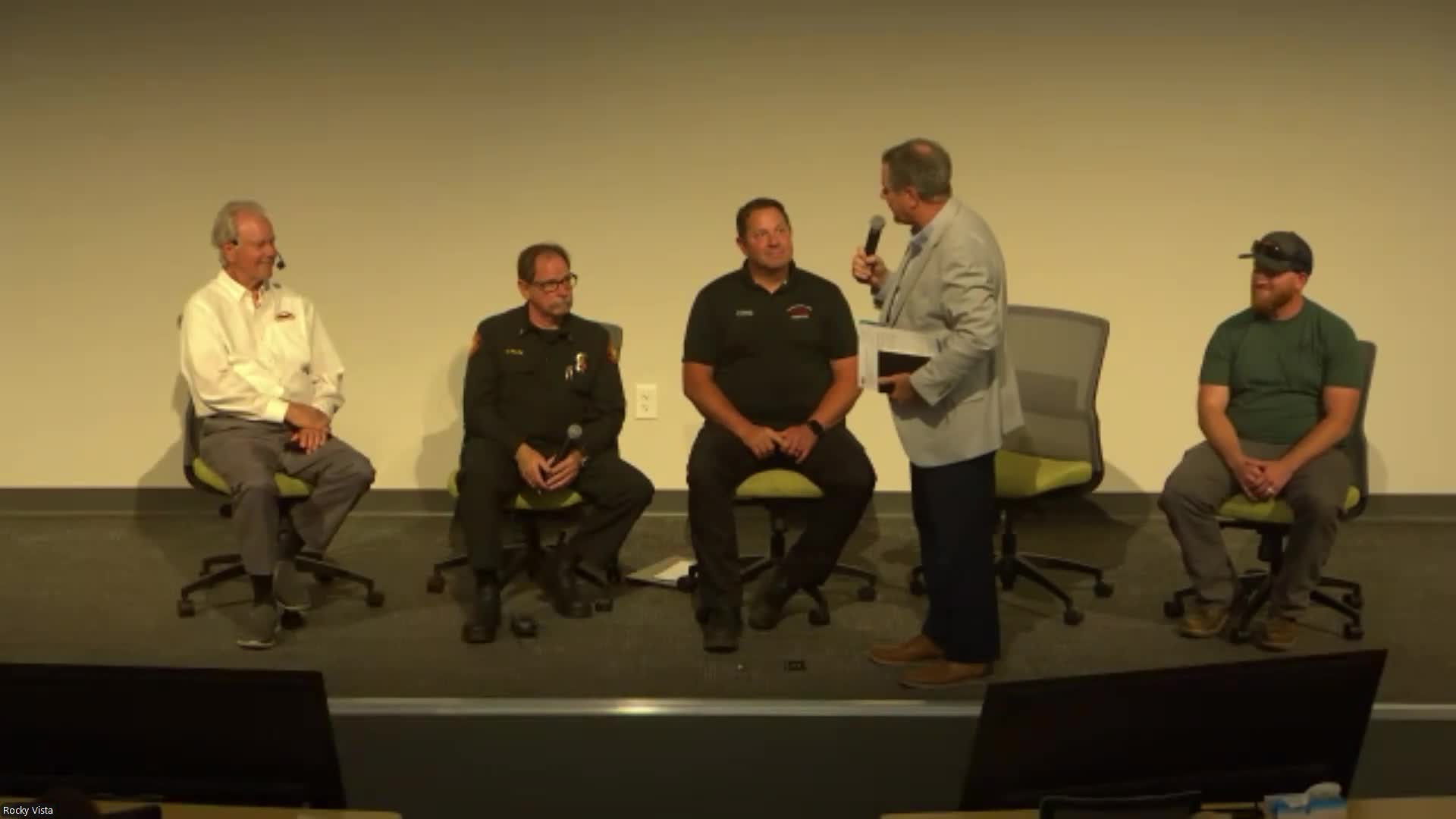
Utah Insurance Commissioner John Pike told residents at a joint Ivins–Santa Clara town hall that state legislation will require homeowners insurers selling policies in Utah to use the Utah State Foresters’ map when identifying wildland‑urban interface (WUI) and high wildfire risk areas.
“Representative Snyder's bill says to all the insurance companies, you will use the Utah State Foresters map in terms of determining what those wildland urban interface or highest wildfire risk areas are,” Pike said, describing provisions he called a “good step.” Pike said the change takes effect Jan. 1 next year and that insurers may still use their own models for other risk factors but must…
Already have an account? Log in
Subscribe to keep reading
Unlock the rest of this article — and every article on Citizen Portal.
- Unlimited articles
- AI-powered breakdowns of topics, speakers, decisions, and budgets
- Instant alerts when your location has a new meeting
- Follow topics and more locations
- 1,000 AI Insights / month, plus AI Chat