Get Full Government Meeting Transcripts, Videos, & Alerts Forever!
Get email alerts on the Land Use Subdivision topic
No spam. Unsubscribe anytime.
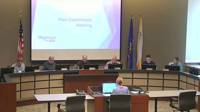
Planning commission approves certified survey map for Fox River Falls; adds silo to map as condition
Summary
Menomonee Falls Planning Commission granted preliminary and final approval of a certified survey map from Fox River Falls LLC to create a roughly 10-acre lot for a banquet/clubhouse parcel, and amended the approval to require the existing silo be shown on the certified survey map before finalization.
The Menomonee Falls Planning Commission on May 6 unanimously recommended preliminary and final approval of a certified survey map from Fox River Falls LLC that creates a just-over-10-acre Lot 1 around the existing banquet/clubhouse on Silver Spring Drive (Tax Key No. 120.099).
Planner Amy Bennett said staff recommended approval and noted the site’s current zoning as PRD (planned residential development) with low-density residential land use. Bennett told the commission the county asked the applicant to include a note on the certified survey map that if the site redevelops in the future it may have to dedicate right of way along Silver Spring Drive; the county, she said, will make that final determination.
Developer representative Kevin Anderson of Newman Developments confirmed the map separates the clubhouse/restaurant and banquet facility from the remaining subdivision and golf course. Anderson said the silo at the southwest corner of the parcel is within the proposed Lot 1 and that the barn had been removed but the round silo remains. "It's within the current lot lines that we're proposing on for Lot 1," Anderson said. "If and when the property's redeveloped, and that right of way gets dedicated to the county, it'd have to come down because it'd be in the right of way."
A potential buyer, Brady Davis, told the commission the silo would not be used for interior functions and that the buyer had no present plans to remove it unless it became a safety issue: "If anything, it'll just be exterior photos," Davis said. Commissioners pressed the applicant to confirm whether the silo is shown on the survey; after discussion the commission approved an amendment to add a condition requiring the silo be shown on the certified survey map before finalization.
The motion to grant preliminary and final approval, as amended with the additional condition that the silo be added to the CSM, passed unanimously. Bennett said no dedications were required at this time and that the certified survey map did not need Village Board action.
The commission’s action included four staff conditions listed in the staff report and the county’s requested note; the record shows the final approval was subject to those conditions plus the newly added requirement to document the silo on the CSM.