Get Full Government Meeting Transcripts, Videos, & Alerts Forever!
Get email alerts on the Land Use Rezoning topic
No spam. Unsubscribe anytime.
Ivins council continues rezoning decision for 800 West/Old Highway 91 after concerns about slopes, land‑use map
Summary
The Ivins City Council on Thursday postponed action on Ordinance 2025‑11, a request to change the land‑use designation and zoning for about 10.69 acres near 800 West/Old Highway 91, and asked staff to provide slope engineering and Sensitive Lands input before reconsidering the map amendment.
The Ivins City Council on Thursday postponed action on Ordinance 2025‑11, a request to change the land‑use designation and zoning for about 10.69 acres near 800 West/Old Highway 91 from a mix of low‑density and high‑density residential to full high‑density residential (R2‑10). The council asked staff to return with engineering analysis of slope and with input from the Sensitive Lands committee before taking a final vote.
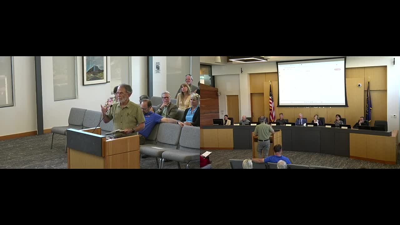
The proposal from American Land Consulting and owner Lewis Carnesale would redraw the city’s land‑use map and rezone parcels from RA‑5 and R‑1‑5 to R‑2‑10, allowing two‑family (duplex) configurations on smaller lots. Wayne Pennington, a resident who said he had studied the nearby Dry Wash Reservoir area, told the council the plan “fits with the neighboring property and goals of the city” and called the duplex approach “an excellent approach to meeting the goals of less expensive homes for families.”
Why the council postponed
The council’s deliberations focused less on the applicant’s specific proposal than on where the change would sit within the city’s adopted general plan and on the practical effects of a map change in a sloped area. Councilmember Sharon Gillespie and others said the general plan’s land‑use map — adopted after a lengthy public process — currently shows the parcel as low‑density residential and that piecemeal, applicant‑driven map changes can set precedents that remain tied to the land.
“Part of the land is already HDR and part is LDR,” said one council member, noting the parcel is adjacent to areas already designated for higher density; others said that gave them less pause. City attorney Dale (first name not stated) told the council the decision is legislative and requires findings to support it, and that the planning staff should document those findings if the council wants to approve the change.
Engineering and hillside protection were central concerns. Planning and public‑works staff explained that changing land use from low density to high density can alter the rules that protect slopes: low‑density design often keeps housing spread out to minimize slope disturbance, while HDR zoning can allow denser development that increases the amount of slope subject to disturbance. Council and staff asked for a focused evaluation of how an HDR designation here would affect sensitive‑lands protections and infrastructure.
Council members also discussed the possibility of a development agreement to bind a future developer to particular design or density limits, but the city attorney explained the council cannot impose conditions that would alter what the zoning otherwise allows; a development agreement would have to be entered voluntarily by the applicant.
What the council decided
After discussion the council voted to continue the ordinance to a later meeting and directed staff to provide engineering analysis on slope implications and, if appropriate, a Sensitive Lands committee review. The motion to continue carried with the council's unanimous voice vote.
Context and next steps
Planning staff said the item will return when the requested materials — engineering input on slope impacts and any Sensitive Lands recommendations — are ready, and encouraged the applicant to discuss the options with staff in the meantime. Planning staff noted a public hearing on the Planning Commission’s recommendation already has been held and written comments from an absent councilmember were entered into the record and treated as public comment.
The council’s postponement leaves the existing land‑use designation in place until the council takes further action. Staff said they expect to bring the requested analysis and any Sensitive Lands input back at a future meeting so the council can make documented findings before deciding whether to approve or deny Ordinance 2025‑11.
Ending
Council members emphasized that the pause is intended to ensure the city’s adopted goals about hillside protection and the general plan are preserved while the city evaluates whether the specific rezoning can be reconciled with those goals. The applicant and his representative were invited to meet with staff and to return with further information before the council considers a final vote.