Get Full Government Meeting Transcripts, Videos, & Alerts Forever!
Get email alerts on the Wildfire Hazard Maps topic
No spam. Unsubscribe anytime.
Belmont presentation explains new state wildfire hazard maps and what ‘moderate’ designation means for residents
Summary
San Mateo Consolidated Fire told the City of Belmont Council that new state Local Responsibility Area (LRA) fire hazard severity maps classify parts of Belmont as "moderate," triggering changes to local building- and defensible-space requirements but not creating any new "high" or "very high" zones in the city.
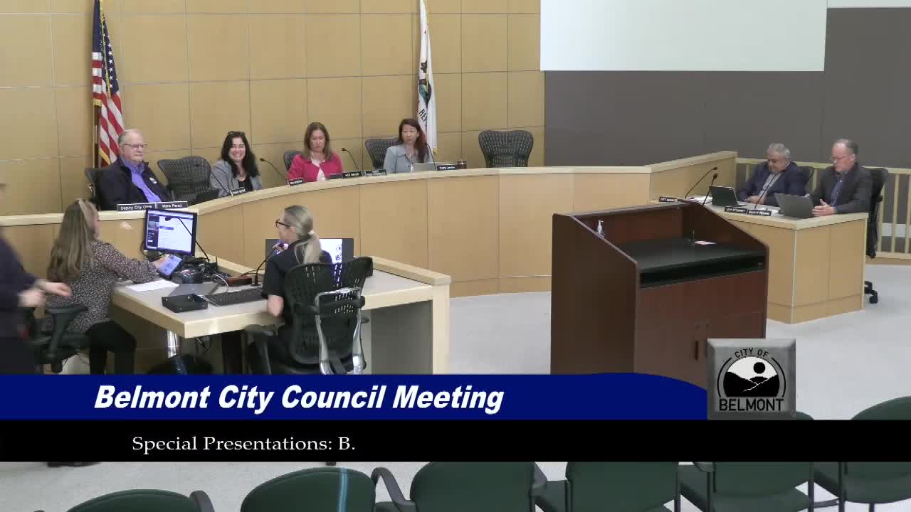
Fire Marshal Carissa Workman of San Mateo Consolidated Fire told the City of Belmont Council on May 13 that the California Office of the State Fire Marshal released updated Local Responsibility Area (LRA) fire hazard severity zone maps in February 2025 and that Belmont contains areas classified as "moderate" hazard but no "high" or "very high" zones.
Workman said the updated maps require local jurisdictions to adopt all three hazard classes (moderate, high and very high) for LRAs within 120 days of receiving the maps, and that Belmont staff have proposed modifying the city's fire code to add the moderate classification to local requirements.
Why it matters: the designation affects land-use and building standards, defensible-space enforcement and real-estate disclosures. Workman explained that adopting the maps lets the city enforce Chapter 7A of the California Building Code in applicable areas — a set of exterior, ignition-resistant construction standards intended to harden homes in the wildland-urban interface — and to require up to 100 feet of defensible space where appropriate.
Workman emphasized the technical distinction between "hazard" and "risk." "The hazard is based on physical conditions that create a likelihood and expected fire behavior over a 30 to 50 year period," she said. "Risk is the potential damage a fire can do under existing conditions, accounting for mitigation such as recent fuel reduction or home hardening." She added that hazard maps do not account for local mitigation already in place.
San Mateo Consolidated Fire is offering Wildland Urban Interface (WUI) property inspections during higher-risk months (June through September) and by request; residents can call the community risk reduction line at (650) 522-7940 to request an inspection, Workman said. She also encouraged routine maintenance such as clearing dead vegetation and creating spacing between trees to reduce ember-driven ignition.
Workman described several local mitigation efforts already under way: a recent, grant-funded chipping program that served roughly the area west of Alameda de las Pogas; ongoing grant-funded fuel-reduction work on emergency access roads in San Juan Canyon and planned work near Waterdog Lake; and coordination between the fire agency and Parks and Recreation on open-space fuel projects. She said trails will be closed while fuel-reduction work is active and that crews aim to finish daily work by mid-afternoon to preserve evening and weekend access where possible.
Council members asked whether the moderate designation improves eligibility for state or federal mitigation funding. Workman said she was not certain and that many current grants prioritize high-severity zones; she said she would look into funding eligibility. She noted that adding the moderate classification allows the city to apply a "next layer" of hardening requirements even if funding priorities remain focused on higher-severity areas.
The presentation included guidance on where residents can view maps and search by address: the Office of the State Fire Marshal (OSFM) website and the San Mateo Consolidated Fire website, which also lists defensible-space resources and contact information. Workman said the fire agency held a first reading of the corresponding fire-board ordinance on April 29 and scheduled a second reading for May 21, after which the ordinance will be filed with the state.
Local context and next steps: the presentation did not include a formal council vote at the May 13 meeting. Workman asked residents to sign up for updates via San Mateo Consolidated Fire channels and for the city to coordinate further public outreach about the maps and defensible-space programs.