Get Full Government Meeting Transcripts, Videos, & Alerts Forever!
Get email alerts on the Wildfire Risk topic
No spam. Unsubscribe anytime.
San Benito supervisors adopt state fire-hazard maps amid insurance concerns
Summary
The Board of Supervisors adopted an ordinance accepting 2025 fire hazard severity maps for local response areas, prompting debate about insurance impacts, homeowner disclosure and outreach. The measure passed 4-1.
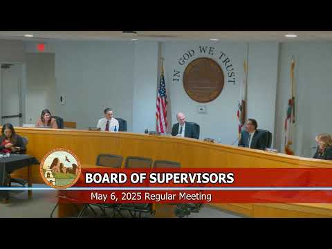
The San Benito County Board of Supervisors voted 4-1 May 6 to adopt an ordinance accepting the Office of the State Fire Marshal's 2025 fire hazard severity zone maps for the county's local responsibility area.
The ordinance formalizes Cal Fire's updated designations of moderate, high and very-high hazard zones and requires the county to submit the adopted ordinance back to the state. "Cal Fire uses very scientific modeling, to come up with these maps," Chief Goulding said during the public hearing, describing the agency's 30-year historical modeling of wind, fuel and moisture that produced the designations.
Supervisors and residents raised concerns that adoption could prompt insurance companies to cancel or decline coverage for properties mapped as higher hazard. "The state is stating that the insurance commissioner says that they have no impact," Chief Goulding said, "but the insurance companies get to use whatever they choose, and so they are being used." Supervisor Rosa Curl described residents who told her their insurers were dropping coverage after the maps were released, and urged the county to press the state for relief and to increase public education on home hardening and Firewise practices.
Board members also discussed the practical effects of each zone. Chief Goulding said moderate designations mostly serve notification and awareness purposes; higher categories carry more building- and permitting-related requirements. He demonstrated a publicly available interactive GIS map that lets property owners enter an address to see the zone designation.
Supervisors directed staff to make the GIS map and Firewise information more visible on the county website and to coordinate outreach. The board asked staff to return with a sample letter or advocacy approach to the California Insurance Commissioner and to have the housing policy reform ad hoc explore options to require additional disclosures for properties in moderate zones. "These maps are out there," Supervisor Currow said. "Adopting them signals awareness and drives building requirements in the very-high zones, but we also need to work on the insurance and education pieces."
Public-comment speakers included residents who described losing homeowners insurance or fearing higher premiums. No formal appeals or map challenges were filed at the meeting. The ordinance record shows the county may increase a designation (for stricter local requirements) but cannot lower the state's designations without providing scientific justification.
The board adopted the ordinance on a roll-call vote: Supervisors Kozmicki, Zenger and Sotelo and Velasquez voted yes; Supervisor Currow voted no. Supervisors asked staff to return with draft outreach materials and examples of specific parcels that may merit coordinated attention with state or regional partners.
The action preserves the state's analytical mapping while initiating county outreach and a plan to discuss insurance impacts with state officials. The board set a follow-up to develop an advocacy letter and asked the PIO to publicize the GIS tool and Firewise resources.
Public-record details: the board received the maps, opened and closed the public hearing, heard from Chief Goulding and members of the public and then adopted the ordinance.