Get Full Government Meeting Transcripts, Videos, & Alerts Forever!
Get email alerts on the Land Use Ordinance topic
No spam. Unsubscribe anytime.
City adopts small-scale land-use amendment for Normandy Boulevard site (Ordinance 2025-238)
Summary
The Waterways Commission approved Ordinance 2025-238 (L16026-25C), a small-scale comprehensive-plan amendment for about 20.81 acres on the south side of Normandy Boulevard. The change to Residential Professional Institution (RPI) permits commercial office or multifamily uses; staff and applicant said wetlands constrain multifamily development.
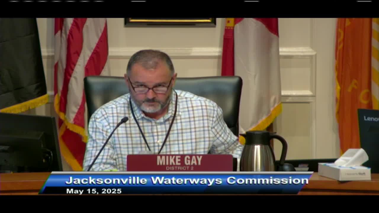
The Jacksonville Waterways Commission approved Ordinance 2025-238 (L16026-25C) May 15, adopting a small‑scale comprehensive‑plan amendment that changes land use for about 20.81 acres on the south side of Normandy Boulevard to Residential Professional Institution (RPI).
Ed Luca Kovic of the Planning Department presented the application, describing the site as approximately 20.81 acres with 7.54 acres of wetlands under the city’s GIS mapping and located in the Yellowwater Creek subdrainage and the Black Creek basin. Under current agricultural designation the site could support roughly eight single‑family dwellings; under the proposed RPI land use the site could be developed either for up to 312 multifamily units (15 dwelling units per acre) or for up to 553,241 square feet of commercial space at a 0.5 floor‑area ratio, or a mix of uses.
Applicant representative Zach Miller told the commission the applicant’s wetland survey shows substantially more wetland coverage — about 17.5 acres — and said the area of developable uplands is limited to a narrow band adjacent to Normandy Boulevard. Miller said the applicant intends office space as the primary use and that multifamily development is economically and logistically infeasible if significant wetlands would be impacted; he said the accompanying zoning would allow residential only as a fallback and likely at low unit counts.
Kovic and Miller described soils, flood zones, and that roughly 6.83 acres fall inside FEMA Flood Zone A. Kovic noted the parcel drains to Yellowwater Creek, then to North Fork Black Creek and ultimately to the St. Johns River. The Planning Department advised that a wetland boundary determination by the St. Johns River Water Management District and a wetland scientist would be required before development activity that affects wetlands could proceed.
A motion and second to approve the ordinance were called; the commission approved the adoption by voice vote. The meeting transcript does not record a roll‑call tally. The ordinance was described as an adoption ordinance that will be submitted to the state and will not return for additional local review.
The commission asked no further questions after the applicant clarified the development intent and wetland extent. No conditions or amendments were recorded in the commission’s action at the meeting.