Get Full Government Meeting Transcripts, Videos, & Alerts Forever!
Get email alerts on the Land Use And Property Disposition topic
No spam. Unsubscribe anytime.
Council directs staff to pursue lot‑line adjustment, R2 rezoning and market sale for Baker Park‑adjacent building
Summary
Council instructed staff to seek a lot‑line adjustment to enlarge a 0.33‑acre parcel adjacent to Baker Park, pursue an R2 rezoning option, and place the former RADE (drug enforcement) building property on the open market if no municipal use is needed.
City staff presented background and options for a vacant city‑owned building at 780 East Park Street — referred to in the meeting as the “RAID building” — a 0.33‑acre parcel that sits adjacent to Baker Park and Grants Pass Parkway.
Brad (city planning staff) and other staff described the parcel’s history (acquired by the city in 1965 as part of Baker Park; the adjacent 760 East Park Street parcel is the main park property), current zoning (R1‑12 for the parcel; R2 zoning lies nearby), existing utilities on site, and building condition. The building was last used for drug enforcement operations and was vacated about seven months earlier, staff said. The structure is pre‑1990, in usable condition but with a sag on a portion of the roof; it has a basement and would require demolition fill if removed.
“From a staff perspective ... we don’t see any of our departments seeing an immediate need for utilization of this building,” staff said. Utilities are disconnected and the site is idle.
Why it matters: The parcel sits on a high‑visibility stretch of the Parkway, near Baker Park boat launch and existing recreational facilities. Council members raised questions about highest‑and‑best use, compatibility with the park, potential for middle housing, and the value uplift from combining an adjacent city strip of land into the sale parcel.
Staff options presented
- Sell for private residential or middle‑housing development (duplex, triplex, townhomes) under R1‑12 or via middle‑housing land division; partitioning could allow up to four sellable lots under middle‑housing provisions. - Rezone to R2 (or consider R3 in some nearby areas) before sale to allow different densities; staff noted commercial zoning would be a spot zone and so was not a staff recommendation. - Demolish and return to open space or construct a parking lot for park overflow; demolition estimates included basement fill costs and demolition (rough estimate provided).
Costs and funds
Staff outlined potential transaction and preparation costs: a property line adjustment (estimated at about $68,000), appraisal and transaction fees, and the approximate property market value per assessor records (about $166,000 for the 0.33‑acre parcel). The city’s surplus property account (LB 6388) was described as the typical fund to receive proceeds; staff noted that the account held approximately $874,000 before a drawdown approved at the prior meeting but not yet processed.
Council discussion and action
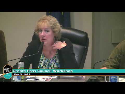
Council members discussed enlarging the parcel by extending the R2 line to the Parkway and confirmed they had no immediate municipal need for the building. Councilmember Rick moved that staff pursue a lot‑line adjustment (subject to ROW or ODOT limitations), take necessary steps to address setbacks and easements, rezone to R2, and list the parcel on the open market. Councilmember Eric seconded the motion. By show of hands/council consensus the motion passed and staff were directed to return with implementation steps.
Action details
- Motion (as proposed by Councilmember Rick): pursue a lot‑line adjustment for the parcel, pursue an R2 zone change as appropriate and prepare the property for market sale. - Mover: Councilmember Rick. Second: Councilmember Eric. Outcome: approved by council direction (show of hands). Staff noted the lot‑line adjustment would better position the parcel for private development and would address setback and easement encumbrances before marketing.
Next steps and constraints
Staff will analyze right‑of‑way issues with ODOT, finalize a property appraisal, prepare necessary easement or lot‑line documents, and return to council with a timeline and costs. Proceeds from any sale would be treated per the LB 6388 surplus property guidelines unless council later revises those use restrictions.
Ending
Council agreed the site’s best near‑term use was to enable private development (with R2 consideration) unless a future municipal need arises. No demolition or immediate municipal repurposing was authorized at the workshop.