Get Full Government Meeting Transcripts, Videos, & Alerts Forever!
Get email alerts on the Wildfire Planning topic
No spam. Unsubscribe anytime.
County hears presentation on 'PODs' wildfire planning tool; staff aims to use network in CWPP
Summary
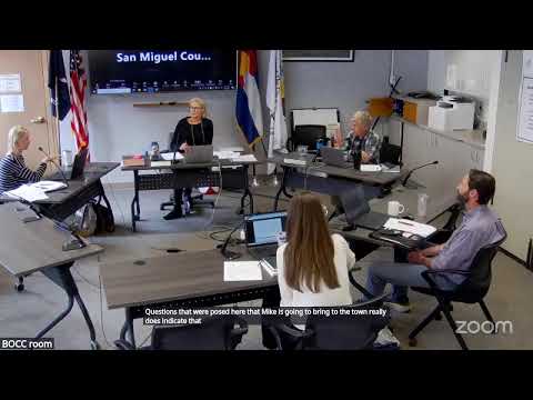
San Miguel County emergency manager and the Colorado Forest Restoration Institute briefed commissioners on Potential Operational Delineations ("PODs"), a mapping tool the county plans to incorporate into its Community Wildfire Protection Plan to prioritize fuels treatments and improve incident response.
San Miguel County emergency management and the Colorado Forest Restoration Institute (CFRI) on April 30 presented a cross‑jurisdictional wildfire planning and mapping tool known as Potential Operational Delineations, or PODs, and described steps to incorporate the work into the county's Community Wildfire Protection Plan (CWPP).
Why it matters: PODs are pre‑season geographic polygons defined by likely control lines — roads, ridgelines, prior burn scars and other features — that firefighters can use to plan containment strategies and prioritize fuel treatments before a wildfire occurs. Presenters said PODs can reduce incident response time and help target fuels work where it will make the most difference.
Presentation highlights: Shannon Armstrong, San Miguel County emergency manager, and Tyler Beaton, a CFRI spatial fire‑planning lead, explained that county PODs were developed last year during workshops with local fire, forest service and land‑management partners. Beaton showed case studies where POD‑aligned lines and prior treatments helped contain or slow fire spread. He said PODs are a “living database” that should be updated as conditions, roads and treatments change.
Local application and schedule: Armstrong said the county will use the PODs network to prioritize fuels‑reduction projects along evacuation routes and other critical corridors and to feed the CWPP currently being drafted. The county’s CWPP contractor is scheduled to conduct fieldwork in June and run fire‑behavior scenarios in July and August; officials said the goal is to finish the CWPP by the end of the year, subject to contracting timelines.
Questions and next steps: Commissioners asked about the PODs’ resolution and granularity for evacuation planning; Armstrong said the initial PODs are often large polygons and staff plans to “right‑size” some pods to make them usable as evacuation zones or for tactical response. Fire chiefs present said they have already used PODs for pre‑incident planning and recommended annual reviews of the POD network.
Ending: The county expects to integrate PODs into fuels mitigation prioritization and incident response tools, and to coordinate updates across federal, state and local partners to keep the network current.