Get Full Government Meeting Transcripts, Videos, & Alerts Forever!
Get email alerts on the Right Of Way Abandonment topic
No spam. Unsubscribe anytime.
Commission recommends clearing 8-foot ‘sliver’ of South Pratt Avenue and recording correction
Summary
The commission recommended that the Board of Supervisors approve abandonment of an approximately 1,680-square-foot strip of South Pratt Avenue that remained in public ownership due to historical mapping; staff said the abandonment will reflect existing parcel lines and preserve required public-utility easements.
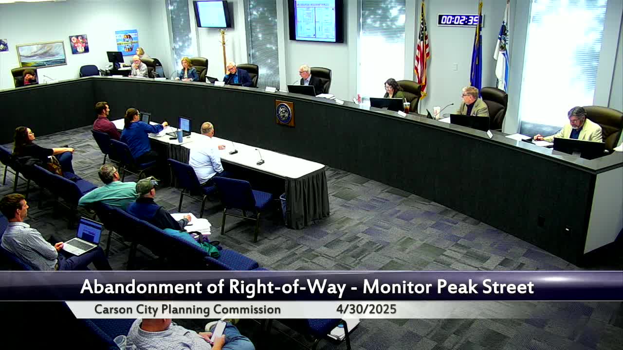
The Carson City Planning Commission on April 30 recommended that the Board of Supervisors approve the abandonment of an 8-foot-wide by roughly 210-foot-long strip of South Pratt Avenue — about 1,680 square feet — to correct a historical mapping oversight.
Planner Heather Manzo explained the parcel’s recorded history: an original 1906 map established a wider right-of-way; later board actions reduced the width but a formal abandonment was not recorded in one 1965 action, and an additional 1998 abandonment left a narrow “sliver” between two private parcels. The current request cleans up that recorded title inconsistency so recorded maps match parcel lines and on-the-ground ownership.
Applicant representative Justin Moore confirmed the two affected homes had been demolished and that the developer will cooperate with the city’s condition to provide a 10-foot public-utility easement along the resultant frontage. Staff said the condition is standard and that utilities serving the area had indicated they did not have facilities within the sliver but that the city maintains the standard PUE requirement.
The commission voted to recommend approval to the Board of Supervisors subject to the staff conditions. The commission’s action will allow recordation to align legal parcels with the current physical and mapped situation.