Get Full Government Meeting Transcripts, Videos, & Alerts Forever!
Get email alerts on the Canyon Rim Trail topic
No spam. Unsubscribe anytime.
County presents design progress and timeline for Canyon Rim Trail Phase 3A
Summary
Los Alamos County staff and consultants presented design details, a proposed structure along the canyon rim and a timeline for Phase 3A of the Canyon Rim Trail; public commenters urged connections to existing sidewalks and minimal property impacts.
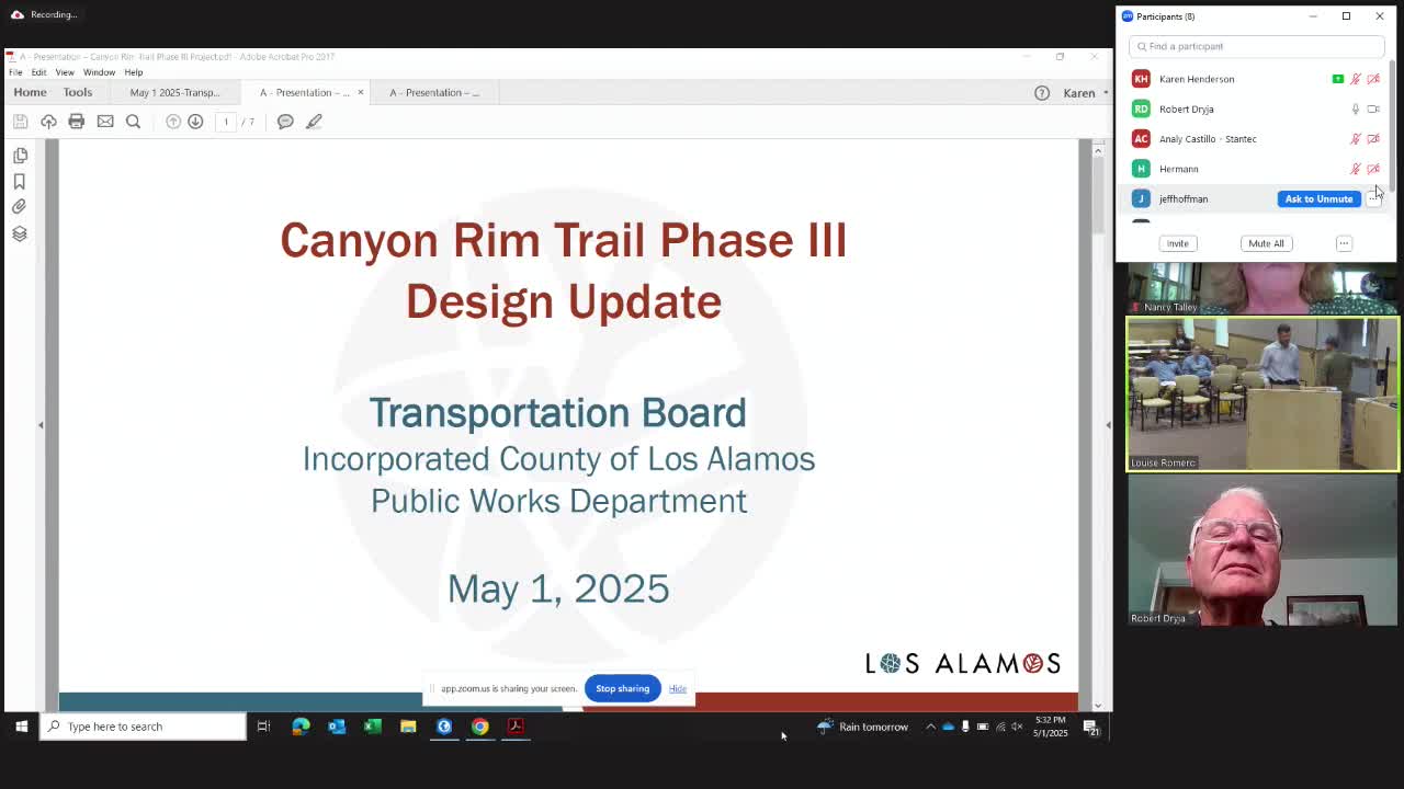
Los Alamos County staff and consultants on Thursday updated the Transportation Board on design work and a proposed schedule for Phase 3A of the Canyon Rim Trail, a 10-foot-wide trail segment that will continue the county’s canyon-edge route and include a boardwalk-style structure and several retaining walls.
The county engineer, Eric Ulibarri, introduced the presentation and said the county and consultant are advancing the Phase 3A alignment and structure design, and recently submitted 60% plans for county and stakeholder review. Conrad Le, the consultant leading design work, said Phase 3A runs from the end of Phase 2 near Smith’s along the canyon edge and ties into 15th Street, and that the team is advancing a structure to span a deep drop near the Natural Grocers/VFW properties.
The project’s typical cross-section for the corridor is a 10-foot-wide path with 3 inches of hot-mix asphalt over 4 inches of base course. The design includes a roughly 200–225-foot boardwalk-style structure with precast concrete planks and about 52-inch high mesh fencing to preserve views while meeting ADA slope limits. Le said, “The one that we’re really moving forward with right now in design is the 3A portion,” and described multiple retaining walls with a ready-rock façade similar to previous trail phases.
Ulibarri told the board Los Alamos County completed site topography and has secured several easements from adjacent property owners for Phase 3A and has coordinated with U.S. Department of Energy stakeholders where DOE property abuts the corridor. The county’s schedule presented to the board calls for advancing 60% plans (already submitted), delivering 90% plans later in the month, completing final plans in July, advertising and bidding this summer, awarding a contract in September and, subject to contractor scheduling, beginning construction in spring of the following year.
Board members and the public raised alignment and property-impact concerns. Board member Nancy Talley asked whether the corridor still aims to extend past the medical center as envisioned in the 2011 Canyon Rim Trail master plan; staff said the master plan showed a western alignment toward Twentieth Street but noted 2016 feasibility work flagged land access, DOE property and solid-waste cleanup sites and the high cost of multiple bridge structures as constraints. Public commenters asked whether the project will use a single environmental review or phased assessments; staff said the work is being broken into phases to match timing and acquisition uncertainties and that Phase 3A will complete environmental review for that segment.
Several speakers urged connections to existing sidewalks and reduced impacts to private property. Phil Gerstny asked whether the design could include an offshoot to the existing 10-foot sidewalk on 20th Street; the consultant said preliminary alignments considered that connection but the current alignment emphasizes the scenic canyon rim and may change if property acquisitions make a straighter connection feasible. A public comment from Lisa Shin requested the county minimize impacts to private property, especially the Elks Lodge; the county said it had met with the Elks about concerns and will continue consultation before any changes are finalized.
The board did not take formal action on the Phase 3A design during the meeting; staff said they will return with updated plans, a refreshed summary of the 2016 feasibility results and responses to stakeholder comments as the design progresses.
Less-urgent details: staff noted the design’s ADA limits—slopes not to exceed 5% and cross-slope limits—and that retaining-wall facades will be similar to earlier phases. The county stressed coordination with DOE will continue for areas that cross federal property.
The board moved on to other agenda items after public comment and questions.