Get Full Government Meeting Transcripts, Videos, & Alerts Forever!
UConn intern presents interactive natural-resources inventory for Torrington
Summary
A University of Connecticut student demonstrated an ArcGIS StoryMap that compiles land cover, soils, water resources, habitat, flood and climate data for Torrington; commission members discussed use for planning, grants and public outreach.
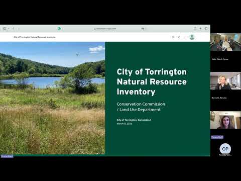
Emma Dutil, a junior at the University of Connecticut, presented an interactive natural-resources inventory (NRI) to the Torrington Conservation Commission on April 22, demonstrating an ArcGIS StoryMap that assembles maps and metadata for land cover, soils and geology, water resources, wetlands, drinking-water reservoirs, forest canopy, endangered species and climate resiliency.
The presentation gave the commission an overview of layers and tools they can use for planning and grant applications. "A story map is an interactive tool that combines geospatial data, interactive media, and text to communicate information," Dutil said as she walked commissioners through land-cover change maps, an aquatic connectivity assessment and a heat-island model.
Why it matters: Commissioners and staff said the NRI could support permit reviews, grant writing and outreach. The…
Already have an account? Log in
Subscribe to keep reading
Unlock the rest of this article — and every article on Citizen Portal.
- Unlimited articles
- AI-powered breakdowns of topics, speakers, decisions, and budgets
- Instant alerts when your location has a new meeting
- Follow topics and more locations
- 1,000 AI Insights / month, plus AI Chat