Get Full Government Meeting Transcripts, Videos, & Alerts Forever!
Get email alerts on the Natural Resources Inventory topic
No spam. Unsubscribe anytime.
UConn intern presents interactive natural-resources inventory for Torrington
Summary
A University of Connecticut student demonstrated an ArcGIS StoryMap that compiles land cover, soils, water resources, habitat, flood and climate data for Torrington; commission members discussed use for planning, grants and public outreach.
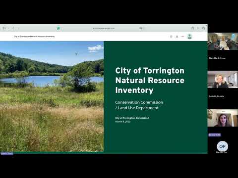
Emma Dutil, a junior at the University of Connecticut, presented an interactive natural-resources inventory (NRI) to the Torrington Conservation Commission on April 22, demonstrating an ArcGIS StoryMap that assembles maps and metadata for land cover, soils and geology, water resources, wetlands, drinking-water reservoirs, forest canopy, endangered species and climate resiliency.
The presentation gave the commission an overview of layers and tools they can use for planning and grant applications. "A story map is an interactive tool that combines geospatial data, interactive media, and text to communicate information," Dutil said as she walked commissioners through land-cover change maps, an aquatic connectivity assessment and a heat-island model.
Why it matters: Commissioners and staff said the NRI could support permit reviews, grant writing and outreach. The StoryMap centralizes multiple datasets — including North Atlantic Aquatic Connectivity Collaborative fish-survey points, FEMA flood zones, I-Tree canopy results and state-surficial-aquifer mapping — and can be embedded on the city's GIS/website for ongoing updates.
Details from the presentation: Dutil showed a land-cover time series (ending in 2021) highlighting recent development; bedrock and surficial-geology layers (including mapped mines); an aquatic-connectivity layer with red dots indicating significant fish barriers and survey points showing species such as sunfish, brown bullhead and chain pickerel; and maps of drinking-water reservoirs identified on the StoryMap as Reuben Hart Reservoir, North Pond, Wisspond and Allen Dam. She reported an I-Tree assessment finding tree canopy covers about 62% of Torrington and demonstrated Nature Conservancy habitat-resiliency and US Forest Service wildfire-vulnerability layers.
Commission discussion focused on local uses and limits of some datasets. Renata Bertotti, an assistant extension educator who works with CLEAR and the Land Use Academy, and Owen Casido, an assistant extension educator with Connecticut Sea Grant, joined remotely and described the academic program that places students with municipal partners to produce resources like the NRI. Commissioners and staff asked about the State Department of Energy and Environmental Protection (DEEP) mapping of surficial aquifer potential and whether Torrington has a designated aquifer-protection zoning district; presenters said the StoryMap shows statewide surficial-aquifer potentials but noted Torrington has not designated a regulated aquifer-protection area.
Commissioner Nathan Ortiz and others suggested using the NRI as an official city reference or directing applicants to it for project-level resource summaries. The presenters and staff discussed next steps including refining zoning overlays, adding imagery basemaps, expanding narratives in the StoryMap and embedding the link on the city site.
The commission praised the work and agreed the map could be updated iteratively. "This can be a starting point to look into what variables were modeled," a commission member said, noting the StoryMap's metadata sections. The group discussed pursuing a formal city resolution to adopt the NRI as a referenced resource for permitting and outreach.
Provenance: presentation excerpts in the meeting transcript document the StoryMap walkthrough and commissioner questions; the StoryMap files and ArcGIS Online link were developed by the student in coordination with commission staff and UConn extension educators.