Get Full Government Meeting Transcripts, Videos, & Alerts Forever!
Modeling shows long-term overdraft in Indian Wells Valley; board discusses management scenarios
Summary
The Groundwater Authority heard technical modeling results showing large historical groundwater losses and options for stabilizing the basin.
The Groundwater Authority heard technical modeling results showing large historical groundwater losses and options for stabilizing the basin.
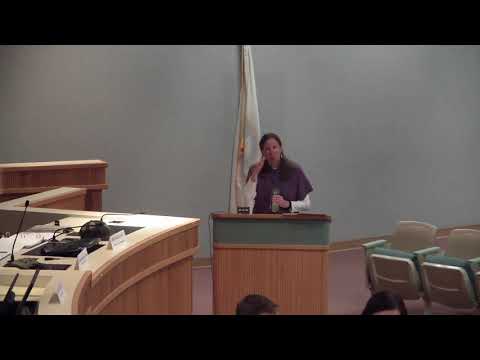
A model developed and run by the Desert Research Institute (DRI) and reviewed by a technical advisory group indicates the basin has been losing tens of thousands of acre‑feet per year historically and would continue to decline under a baseline “no‑action” scenario. Jean Moran, a hydrogeologist with DRI, told the board the model’s historical water‑budget runs show average annual reductions in storage in the range of thousands of acre‑feet; shorter dry periods showed larger annual losses. Moran said the model predicts partial recovery of water levels if pumping were reduced to an estimated natural recharge of about 7,650 acre‑feet per year, then levels would asymptote at a new equilibrium over decades.
The model integrates MODFLOW (flow) and MT3D (solute transport) packages and includes six vertical layers, mountain‑front recharge, subsurface inflows and outflows, evapotranspiration, fault behavior and pumping. Moran emphasized the model captures seasonality and variable hydrology, and that DRI calibrated hydraulic conductivity, storage and other parameters against observed water levels and water‑budget data.
Why…
Already have an account? Log in
Subscribe to keep reading
Unlock the rest of this article — and every article on Citizen Portal.
- Unlimited articles
- AI-powered breakdowns of topics, speakers, decisions, and budgets
- Instant alerts when your location has a new meeting
- Follow topics and more locations
- 1,000 AI Insights / month, plus AI Chat