Get Full Government Meeting Transcripts, Videos, & Alerts Forever!
Get email alerts on the Land Use Parcel Map topic
No spam. Unsubscribe anytime.
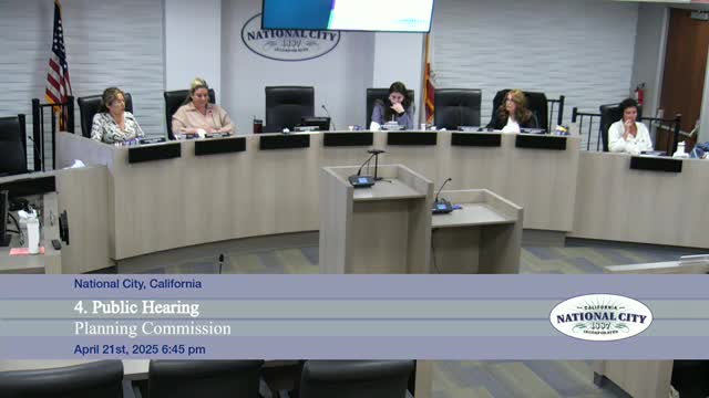
Planning commission approves 2‑lot split at 639–643 E. 20th Street, keeps existing fence to protect olive trees
Summary
The National City Planning Commission on April 21 approved a tentative parcel map dividing 639–643 East 20th Street into two lots, finding the split exempt from CEQA under Class 15 and adopting a condition preserving the existing fence and olive trees.
The National City Planning Commission on April 21 approved a tentative parcel map to divide a single lot at 639–643 East 20th Street into two parcels and found the split categorically exempt from the California Environmental Quality Act under CEQA Guidelines, Class 15 (minor land divisions).
Staff presented the proposal as a straight lot split that would not create any new development immediately. Assistant Planner Sophia Depew told the commission the site is in the RM‑3 (very high density multiunit residential) zone, is about 20,000 square feet, and currently contains two single‑family homes. She said Parcel 1 would be roughly 7,477 square feet with about 60 feet of frontage and Parcel 2 roughly 13,387 square feet with about 103 feet of frontage; no new construction is proposed at this time.
The nut of the discussion focused on an existing jog in the proposed lot line that follows an existing fence and two large olive trees near the houses. The applicant, Philip Lowe, asked the commission to allow the fence line to remain as drawn, saying the fence and trees predate recent development and that relocating the fence would harm trees and a handicap ramp adjacent to the house. "I'm not going to cut down the trees," Lowe said while describing a path and ramp that would be affected by a straightened lot line.
Staff recommended a straighter side lot line consistent with Title 17, which states lot side lines should be as nearly at right angles or radial to the street as practical. Associate planner David Welch told commissioners the recommendation followed the subdivision ordinance but that the ordinance allows discretionary interpretation: "I believe there's enough discretion there that the interpretation could be made that in this case, the commission could make that decision to say, hey. We are okay with a slight jog in this particular situation." (David Welch, Associate Planner.)
Commissioners debated preserving the trees and the practical impact on future development. Commissioner Quinones moved to adopt the resolution approving the tentative parcel map but to retain the existing fence/lot line as shown and include the usual CEQA filing language; Commissioner Armenta seconded. The motion passed unanimously with commissioners present.
Public commenters urged protection of the olive trees and clarity on CEQA: Doyle Morrison asked the commission to confirm that any future development proposals would receive separate CEQA review. Staff and legal counsel reiterated that the current action is only a lot division and that any later development would be reviewed on its own merits under CEQA.
The parcel map approval will be forwarded as a notice of decision to the City Council and staff will file a notice of exemption as required for Class 15 determinations.
Ending: The commission approved the tentative parcel map with the added condition preserving the existing fence/lot line to protect the olive trees and with standard direction that any future building proposals on either resulting lot will be subject to their own CEQA review and applicable development standards.