Solar Liberty presents lidar‑based view‑shed study; board narrows vantage points for visual and glare analysis
Summary
Solar Liberty presented a lidar view‑shed study for a proposed 58.9‑acre solar array; the planning board asked for targeted, leaf‑off photographic simulations, a planting mitigation plan and a one‑year look‑back to confirm screening and glare performance.
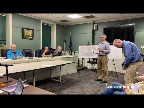
Solar Liberty Energy Systems and its consultants returned to the Town of Goshen Planning Board with a lidar‑based view‑shed analysis for a proposed solar energy system on approximately 58.9 acres.
What was presented: Ari Goldberg (lawyer for the applicant) and Nicholas Vambas (LaBella/LaVelle Associates) described two types of GIS‑based visibility maps: a “bare‑earth” map that models ground topography only and a “first‑return” map that incorporates lidar returns from vegetation and structures. The first‑return view shed reduced the mapped visibility compared with bare‑earth results where tree cover or buildings block sight lines.
Board requests and vantage points: The applicant had previously submitted candidate photo‑vantage points; after walking the maps with staff and consultants the board narrowed and refined the list. The planning board requested photopoints and visual simulations (including glare analysis) at strategic locations, including several points on Northgate and Summitview, multiple locations along Millburn Road, Moonlight Trail (middle and ends), and selected locations on Skulls/Reservoir and Storms roads. The applicant agreed to present photographs and 3‑D visual simulations taken in leaf‑off conditions and to map any adjustments needed for vantage‑point selection.
Planting, glare and a one‑year look‑back: Board members discussed landscape screening and the need for realistic planting plans. The board asked for a one‑year “look‑back” condition after final planting to confirm whether plantings achieved the intended screening effect and to allow adjustments if visibility or glare proved greater than predicted. The applicant expressed willingness to provide detailed planting scenarios and tested glare simulations.
Construction timing and noise/alarm concerns: The applicant estimated construction would likely take six to 12 months with Millburn Road used for site access; board members asked that heavy truck traffic avoid early‑morning hours (suggested start no earlier than 9 a.m.). The board also asked the applicant to clarify alarm systems and response procedures after a neighbor raised concerns about prolonged alarms at a different solar facility; the applicant said emergency contact signage and monitoring protocols are standard practice and said it would include any proposed alarm details in the noise/operations submittal.
Next steps: The board instructed the applicant to submit the refined list of photopoints, high‑resolution photo‑simulations (including first‑return and bare‑earth comparisons) and a planting/mitigation plan. A one‑year monitoring condition was discussed as part of possible future approval conditions.
Speakers quoted are attributed to the meeting transcript.
AI generated
The text on this page is AI generated. Summaries, highlights, analysis, and video transcripts are all produced from the original source material.
AI can make mistakes, so if you spot one, and we will fix it for everyone.
Note: the source content is unaltered by us. Any content source we link to, be it a video, an audio recording, or a document, is presented exactly as its publisher released it. That publisher is usually a government body, sometimes an individual official or another organisation.