Get Full Government Meeting Transcripts, Videos, & Alerts Forever!
Get email alerts on the Zoning Maps topic
No spam. Unsubscribe anytime.
Planning Commission votes to adopt Title 21 zoning map updates consistent with 2010 General Plan
Summary
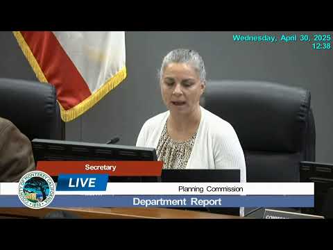
The Planning Commission voted unanimously April 30 to adopt an ordinance amending Title 21 to reclassify multiple zoning districts to be consistent with the 2010 Monterey County General Plan land-use designations.
Monterey County’s Planning Commission unanimously voted April 30 to adopt an ordinance amending Title 21 of the Monterey County Code to update sectional zoning district maps and related code sections so they align with the County’s 2010 General Plan land-use designations.
Taylor Price, senior planner, presented the project and said Phase 1 of the effort implements General Plan policies LU 9.1 and LU 9.8 and updates the county’s sectional district maps. Price said the project revives a map-update effort that began in 2014 and was not completed because of staff turnover and other priorities.
Why it matters: The ordinance is an administrative step to make zoning maps consistent with the countywide 2010 General Plan land-use designations; staff said the change does not alter land-use designations and property owners are not being rezoned to a different land use beyond what the 2010 General Plan already prescribes.
Commissioner Francisco Gomez moved to approve the staff recommendation; Commissioner Mendoza seconded. Commissioners voted “aye” and the motion carried. No public comments were received on the item.
Ending: Staff said Phase 1 will go to the Board of Supervisors in summer 2025; Phase 2, which will implement the Agricultural and Winery Corridor Plan and ministerial permitting changes, will return to the Planning Commission later in 2025.