Get Full Government Meeting Transcripts, Videos, & Alerts Forever!
Get email alerts on the Wildfire Defensible Space topic
No spam. Unsubscribe anytime.
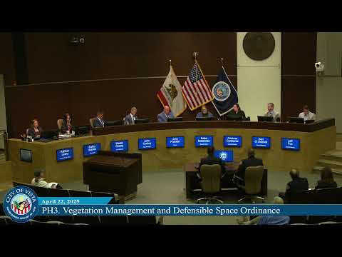
Vista public hearing spotlights new defensible-space ordinance, fire chiefs outline 3‑year rollout and grant strategy
Summary
Fire officials briefed the Vista City Council on updated state hazard maps and proposed vegetation-management and defensible-space rules. Officials described zone definitions, a three-year soft rollout, grant and workforce strategies to assist homeowners, and apps and outreach for evacuation and preparedness.
Fire Chief Gerard Washington and Vista Fire Protection District staff told the Vista City Council that updated state hazard maps and an accompanying vegetation-management ordinance are intended to reduce wildfire risk and help residents retain insurance coverage.
“Be proactive, and by that, we're going to save lives, guaranteed,” Chief Gerard Washington said, urging council support for the updated ordinance and cautioning that compliance costs can be significant for some property owners.
Deputy Chief Brett Davidson explained the state’s updated Local Hazard Severity Zones, released March 24, and said the council must adopt the maps by ordinance. Davidson said the maps were developed from 20 years of weather history and model the top 10% of weather events to predict fire behavior. “So when we get a wind‑driven wildfire... our goal is to reduce the fuels in the creek beds, along the creekways, around homes and around the canyon rims,” Davidson said.
City and district staff described the proposed defensible-space framework as three buffer zones: zone 0 (0–5 feet), zone 1 (5–50 feet) and zone 2 (50–100 feet). Staff said the ordinance will prioritize removal of dead vegetation and palm “beards,” require tree trimming (six feet of clearance above roofs or trimmed one‑third for short shrubs), and set fuel‑reduction standards for the 0–50 and 0–100 foot zones. The city intends a three‑year soft rollout focused on education before robust enforcement.
Officials said the ordinance aligns with scientific recommendations used by insurance underwriters and would support applications for fire‑risk reduction community grants intended to help residents maintain insurance coverage and reduce the chance of policies being dropped.
Washington and other staff outlined several support measures, including pursuit of Cal OES and other fuel‑mitigation grants, workforce‑development funds to subsidize work for low‑income residents, and city-led RFPs for fuel‑abatement contracts for public properties. Staff said previous bids for full brush removal have been as high as about $19,000 per acre in heavily vegetated areas, and tree removal costs vary widely depending on tree location and hazard.
Staff also promoted community preparedness tools and apps: Alert San Diego for county emergency notifications; Genesis Protect for evacuation polygons and law‑enforcement coordination; WatchDuty for camera imagery and situational awareness; and PulsePoint for CPR alerts. Chief Washington noted Vista’s cardiac‑arrest survival rate (about 20–25%) is higher than the national average (about 5–10%), and encouraged residents to register for apps and prepare “go‑bags.”
Public comment included John Plots, a board member of the Vista Fire Protection District, who urged the council to adopt the ordinance, and resident Kimberly Cross Purdy, who raised specific concerns about Bubbles and Park (dead palm fronds, proximity to a heavy‑equipment business and an adjacent school) and urged coordination with the school district on evacuation planning. “If we have a higher risk in the park... it’s really something that needs to be coordinated with the school district to make sure that we're keeping everybody safe,” Purdy said.
Councilmembers asked staff about implementation details: which creek corridors are priorities (staff identified Vista Way through Hacienda down toward the Costco as first priority), the 120‑day statutory deadline to adopt the state maps, inspection volumes (staff inspected between 1,900 and 7,100 lots last year) and the low forced‑abatement rate (less than 0.5% of inspected properties, roughly fewer than 30, were forced to abate). Councilmembers also discussed undergrounding of utilities as a long‑term mitigation strategy; staff said SDG&E controls those lines and the city does not currently have a funding program for undergrounding.
Councilmember O'Donnell said she would make a motion to close the public hearing and adopt the recommendations; Councilmember Fox seconded. The provided transcript segment records those procedural actions but does not show a roll‑call vote or final tally in the excerpt.
Staff said they will continue community meetings (the city has held two and planned a third prior to June 2), pursue grants and provide outreach to assist residents in meeting new requirements.