Get Full Government Meeting Transcripts, Videos, & Alerts Forever!
Get email alerts on the Wildfire Mitigation topic
No spam. Unsubscribe anytime.
Cal Fire tells Colfax nearly all city is now graded Very High fire-hazard severity; 45-day comments, local ordinance adoption to follow
Summary
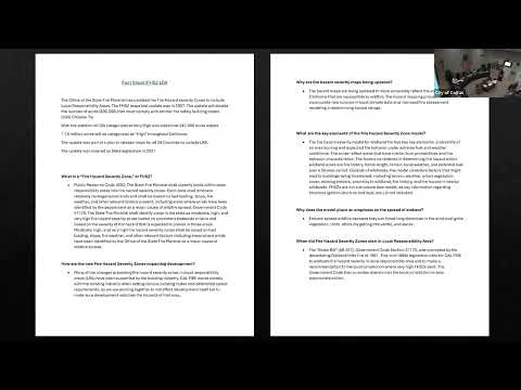
Division Chief Ryan Wozner of Cal Fire told the Colfax City Council on Feb. 26 that the Office of the State Fire Marshal has reclassified the city as a Very High Fire Hazard Severity Zone in the Local Responsibility Area mapping update.
Division Chief Ryan Wozner of Cal Fire told the Colfax City Council on Feb. 26 that the Office of the State Fire Marshal has reclassified the city as a Very High Fire Hazard Severity Zone in the Local Responsibility Area (LRA) mapping update.
The change means the entire city of Colfax will be treated as higher-severity wildfire hazard on the new state maps and, under state law, local governments will be required to adopt an ordinance accepting the maps if they want to remain aligned with state regulations and remain eligible for certain state and federal funding programs. "The city of Colfax in its entirety is being graded as a very high hazard severity zone," Wozner said.
Why it matters: the classification triggers more stringent building-code requirements, influences defensible-space inspections connected to property transactions, and can affect eligibility for federal and state disaster assistance such as FEMA's Fire Management Assistance Grant (FMAG) programs. Cal Fire representatives said the updated maps were released to agencies in mid-February and that the public comment window runs for 45 days, after which the Board of Forestry is expected to adopt the maps on June 1.
Cal Fire also reported staffing and operational updates. A Cal Fire chief present at the meeting said the local unit will be at full staffing on March 17, though aircraft resources will come online later. "We will be fully staffed March 17, with the exception of no aircraft yet," the chief said. Officials described ongoing vegetation‑management work in the North Fork area and said crews burned more than 300 pile burns over three days while engines were brought in from outside the area.
Officials explained how the maps work and what residents and property owners should expect. A parcel that contains portions graded at different levels defaults to the higher severity listing; the maps classify areas as Moderate, High or Very High and now include the Local Responsibility Area (LRA) designation to indicate local-government-managed lands. County and city staff will receive digital map files and toolkits from Cal Fire including draft ordinance language intended to simplify adoption by local governments.
Council members and residents asked how the change will affect property owners. Cal Fire officials said the hazard map measures relative hazard, not insurance company risk, and insurance companies use separate, more granular risk assessments (for example lidar and on-site inspections). Officials also described new or expanded program links: AB 38–style inspections at time of sale (defensible space inspections) and a planned low-cost retrofit program the state is staffing to support reduced structure vulnerability.
On funding, Cal Fire staff said federal and state funding streams will be available and that the updated maps help target low-cost retrofit programs and grant dollars; the Office of the State Fire Marshal recently posted a job to run the low-cost retrofit program. Officials did not provide a definitive list of specific grant amounts for Colfax but said FEMA and state grant programs will be tools local governments can access after adopting the maps and related ordinances.
Residents asked whether Cal Fire will carry out outreach and inspections. Wozner and other Cal Fire staff said defensible-space inspectors can be requested by homeowners and that staff will be conducting inspections and outreach throughout the county once additional personnel are in place. Cal Fire representatives said they typically run mobile defensible‑space teams and can do hundreds of inspections a day when staffing allows.
What’s next: Cal Fire said cities should expect to receive map files and a toolkit and that local governments have a 45‑day comment period before final adoption. The Board of Forestry’s anticipated adoption date is June 1, after which the maps would become the basis for local ordinances and for certain funding-eligibility rules.
The update was presented during the council’s agency reports segment; no council action was required or taken at the Feb. 26 meeting.