Get Full Government Meeting Transcripts, Videos, & Alerts Forever!
Get email alerts on the Wildfire Hazard Maps topic
No spam. Unsubscribe anytime.
Seaside fire chief outlines new State Fire Marshal hazard severity map, town hall planned
Summary
Interim Fire Chief Paul Blaha briefed council on updated fire hazard severity zone maps and an implementation timeline. The presentation outlines defensible-space requirements and next steps including a town hall and ordinance readings.
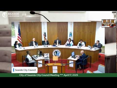
Interim Fire Chief Paul Blaha presented an overview of updated fire hazard severity zone maps transmitted by the Office of the State Fire Marshal and outlined the city's timeline for local action.
Blaha said the state transmittal arrived March 10 and described how the hazard model evaluates probability of burning and expected fire behavior under extreme conditions. He told the council that the model divides areas into three categories—moderate, high and very high—and that the maps guide building standards, defensible-space rules, road and water-supply requirements and disclosure for real-estate transactions.
Blaha summarized defensible-space guidance, noting that Zone 0 (0–5 feet) requires aggressive fuel reduction to reduce ember intrusion and that management intensity increases outward to 100 feet. He said the Seaside Fire Department’s first-alarm vegetation response includes a chief and two engines and that, in larger vegetation incidents, mutual aid would come from Presidio Monterey and CAL FIRE.
Blaha also walked through a local timeline: the state transmittal and maps were posted on the city website for public review, the city will hold a wildfire-awareness town hall at Soper Field on April 24 at 6 p.m., the first reading of a fire-hazard-severity-zone ordinance is scheduled for May 1 and the second reading for May 15; the maps would go into effect 30 days later, on June 15. Council members asked whether modeling changes and vegetation fires have driven the increase; Blaha said both improved modeling and the inclusion of vegetation fires that had entered urban areas contributed to the revised mapping.
Blaha concluded that the maps are intended to guide residents and developers on building standards and defensible-space practices. Councilmember Miller confirmed the town-hall date would be open to the public; staff confirmed posting and outreach resources and pointed residents to the Office of the State Fire Marshal and ReadyForWildfire websites for guidance.
No ordinance was adopted at this meeting; the item was a presentation and staff confirmed the public outreach and ordinance-reading schedule.
"The fire hazard severity zone maps are divided into 3 categories, moderate, high, and very high," Blaha said during the presentation.
The city will hold the town hall on April 24 and will return to council for ordinance readings on May 1 and May 15.