Get Full Government Meeting Transcripts, Videos, & Alerts Forever!
Get email alerts on the Downtown Streets And Planning topic
No spam. Unsubscribe anytime.
Buckeye presents Monroe pilot data showing fewer crashes, small travel delays as council weighs permanent redesign
Summary
City of Buckeye staff presented about one year of data from the Monroe Demonstration Project, saying speeding citations and crashes declined while travel times through downtown increased by less than a minute on average; staff will forward community feedback to city council as it considers capital funding and long-term utility work.
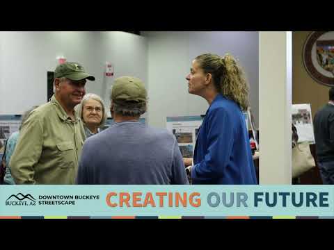
Brian Craig, the development services director for the City of Buckeye, presented results of the Monroe Demonstration Project and the Downtown Specific Area Plan (DSAP) to a public workshop, saying the pilot has produced lower speeding citations and fewer crashes while causing only modest increases in travel time through downtown.
Craig said the restriping that created the demonstration section took place in June 2024 and that the city has studied roughly nine months of post-implementation data. "We've determined that it did not have a negative impact on the response times for priority 1 calls," he said, describing police and fire response as continuing to perform "excellently." Craig also summarized police and traffic data: 14 speeding citations were recorded in the first nine months of fiscal 2024 compared with 11 in the same nine-month window in fiscal 2025, and reported crashes in the study corridor fell from 30 to 18 in those comparable periods.
The presentation positioned Monroe as the principal street for realizing the DSAP vision, which the city adopted in 2023 after a roughly 12-month community process. Craig described the DSAP as an "action plan" with several dozen short- and long-term strategies and said staff intends to package public feedback from the workshop for the city council as it makes budgeting and capital-investment decisions.
Craig reviewed the demonstration elements and how they relate to longer-term stages. The pilot included restriping to reduce travel lanes, preserved parallel parking where possible, hatched zones and parklet areas for seating and pedestrian amenities, and a demonstration parklet installed between Fifth and Sixth streets. City Hall parking was also restriped to add head-in stalls along Roosevelt. Craig said the pilot has been available for community review "so you can experience it, live with it for a while." He added that some materials used in the demonstration have not endured as expected and will be addressed in future upgrades.
On travel time, Craig presented cellphone-derived travel-time data comparing February 2024 (pre-striping) and February 2025 (post-striping). He told attendees that outside peak periods the difference in travel time from First Street to Ninth Street was roughly 15 seconds, and that the greatest travel-time difference measured in the data remained "less than a minute extra" on average. Craig acknowledged left-turn queuing, particularly for drivers turning toward the high school, as a recurring complaint and said the analytics measure travel across the whole downtown segment rather than localized delays.
Craig described three layout scenarios staff is showing the public: the original four-lane highway-type section (identified in presentation notes as County Highway MC 85), a two-lane configuration with widened sidewalks and curb moves to create up to 16–20-foot pedestrian areas, and a two-way configuration that preserves parallel parking with a center turn lane to improve mid-block left turns while retaining sidewalks for cafes and trees. He said the more permanent reconstructions (stage 4 in the plan) would require extensive underground work — storm, water and sewer upgrades and modern fiber — and that subsurface work typically accounts for about 80% or more of the budget for such projects.
On business impacts, Craig summarized financial data for the downtown study area and said the number of businesses in the corridor rose from 33 in fiscal 2022 to 36 in fiscal 2023 and that staff expected 43 businesses by the current fiscal year end. Based on historic performance, Craig said projected combined revenues for the study area were on the order of $1 million; he did not report a post-striping revenue decline for the downtown corridor.
Craig addressed safety and pedestrian crossings: the city has activated new shoulder pedestrian crossing signals at Ninth Street and has ordered an overhead pedestrian signal to provide additional crosswalk protection. He said feedback the city received included concerns about parking visibility, left-turn difficulty, potential impacts on emergency access, and durability of some demonstration materials. Craig said staff would incorporate community input into iterative design refinements and present findings to council during budget deliberations.
The presentation closed with a request for attendee input: staff will distribute a survey and collect email addresses and comments to include in the package given to council. Craig encouraged attendees to visit the project web page for slides and DSAP links and said council would decide the timing and scope of any permanent Monroe reconstruction as part of future capital budgeting.
Ending
Craig said the Monroe Demonstration Project and associated DSAP work are intended to be staged over multiple years and emphasized that a full, permanent reconstruction will require significant underground utility work and budgeting decisions by the council. He asked residents to provide feedback via the on-site survey and the project website so staff can present summarized community input to elected officials.