Get Full Government Meeting Transcripts, Videos, & Alerts Forever!
Get email alerts on the Westside Master Plan topic
No spam. Unsubscribe anytime.
League City panel refers Westside Master Plan to city council after presentation on drainage, parks and mixed-use goals
Summary
After a presentation summarizing a roughly 700-page Westside Master Plan, the body voted 6-0 to refer the plan to City Council for consideration. The plan prioritizes integrated detention and parkland along Dickinson Bayou, aims for greater commercial mix on the west side and anticipates growth tied to the Grand Parkway.
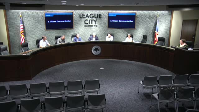
A League City advisory panel voted 6-0 to refer the League City Westside Master Plan to the City Council for consideration after hearing a presentation by planning staff and asking questions about drainage, land use and incentives.
Planner Christopher Carpenter summarized the plan before the public hearing and told the panel, “the master plan is a guide. It helps us manage and control growth, and plan for the future growth of our city.” Carpenter said the plan document runs roughly 700 pages and noted that public engagement for the project included two surveys that drew more than 1,300 responses.
The nut of Carpenter’s presentation was the West Side’s expected rapid growth tied to regional infrastructure. Carpenter told the panel the Grand Parkway is expected to start construction in 2027 and be completed around 2031, and that the plan is intended to get guidance in place before that work accelerates. He said the plan seeks a more mixed-use pattern than existing single-family zoning, and cited a market study scenario that would shift the area’s ratio toward about 65 percent residential and 35 percent commercial — closer to the city’s 60/40 goal for balancing residential and commercial development.
Panel members focused questions on stormwater and how parkland and detention would be combined. Carpenter described an Option B future land-use approach that concentrates parks, detention and open space in the Dickinson Bayou floodway and floodplain, with mixed-use and commercial development located nearer the Grand Parkway and along major corridors. He described the concept as dual-purpose parkland and detention — areas that function as public amenities but also hold water during major rain events so housing and commercial parcels are less likely to flood.
Carpenter and other staff also summarized technical appendices included with the plan: a high-level hydrology (H&H) study that showed extensive detention needs; a phase 1 environmental and cultural resources review that flagged Benson Cemetery for further study; and a market study comparing baseline and aspirational development scenarios. Carpenter said the planning team recommended creating design guidelines and a parks overlay district after adoption, and listed potential implementation tools including rezonings, overlay districts and targeted incentives to encourage developers to build mixed-use and green-infrastructure features.
Panel members asked whether the proposed residential/commercial ratio would be citywide (it would not) and pressed staff on whether detention would be designed for recreation (Carpenter said that remains to be determined and that the parks overlay would provide incentives for developers to design detention as publicly accessible open space). A panelist also asked who controls financial incentives; staff responded that City Council would decide whether to offer any incentive packages and that an economic development plan is being prepared for council review.
No members of the public signed up to speak during the public hearing. After discussion, the panel opened and closed the public hearing at 6:31 p.m., then voted to refer the Westside Master Plan to City Council for their evaluation and appraisal. The motion to refer was made by Ruth Morrison and carried 6-0; the name of the second was not specified in the record. Staff noted the item is scheduled for City Council on May 13.
The plan proposes four place-making districts (Gateway, Preserve, Groves and Quarry), emphasizes parks and greenways along Dickinson Bayou, and calls for further study of infrastructure, drainage and property-specific development details as proposals arrive. Staff told the panel the plan is intended to be revisited in three to five years to determine whether updates are needed.