Get Full Government Meeting Transcripts, Videos, & Alerts Forever!
Residents flag low‑altitude mapping flights; county commissions ask Dominion Energy for explanation
Summary
A resident's observation that low‑altitude aircraft were conducting LIDAR mapping over Madison County prompted the Planning Commission and Board of Supervisors to request information from Dominion Energy and related parties about the flights and any transmission plans. The Planning Commission recommended the Board seek details; the Board asked the
A Madison County resident’s account of low‑altitude laser mapping flights over the county prompted both the Planning Commission and the Board of Supervisors to request information from Dominion Energy about the flights and any planned transmission projects.
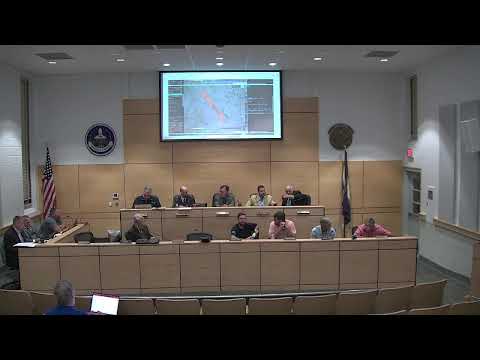
At the Planning Commission meeting, James Alexander told commissioners he had tracked aircraft using ADS‑B and said a contractor named Randigo had performed lidar mapping runs at unusually low altitude. Alexander described the lidar runs as high‑resolution mapping, saying "This plane was coming very low," and explained that at the recorded altitudes the flights would produce very fine three‑dimensional mapping suitable…
Already have an account? Log in
Subscribe to keep reading
Unlock the rest of this article — and every article on Citizen Portal.
- Unlimited articles
- AI-powered breakdowns of topics, speakers, decisions, and budgets
- Instant alerts when your location has a new meeting
- Follow topics and more locations
- 1,000 AI Insights / month, plus AI Chat