Get Full Government Meeting Transcripts, Videos, & Alerts Forever!
Greenways committee approves crowdsourced geotag map pilot, forms subcommittee to finalize rollout
Summary
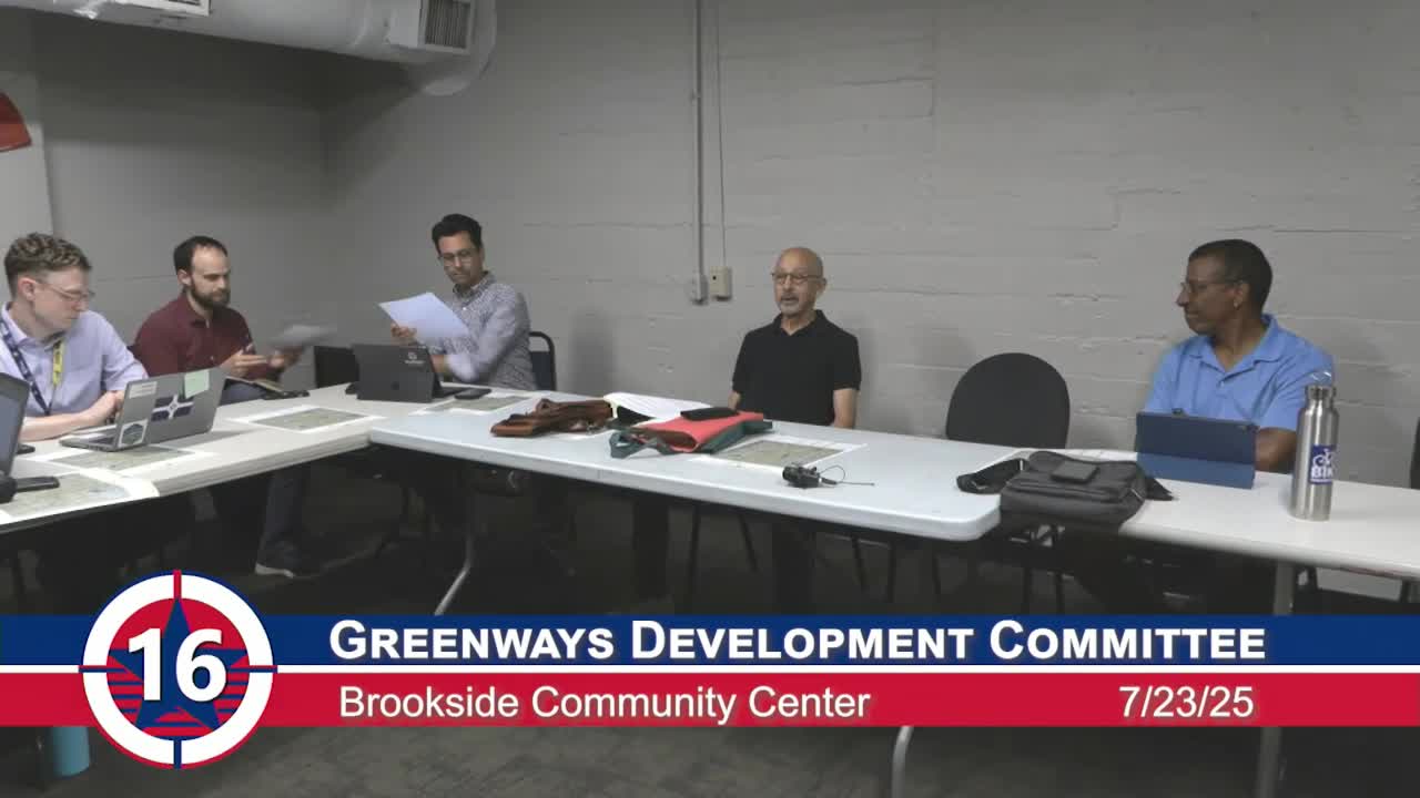
The Indianapolis Greenways Development Committee voted to publish a crowdsourced geotag map asking trail users to identify needs such as restrooms and water, and appointed a subcommittee to finalize the map and outreach plan.
The Indianapolis Greenways Development Committee voted July 23 to publish a crowdsourced geotag map for trail amenities and to appoint a subcommittee to finalize an alpha version and assist with outreach.
Committee members described the proposal as a way to let trail users photograph and mark locations on a map — identifying potential needs such as restrooms, water fountains, bike racks and trash receptacles — and then allow the committee to screen submissions before sharing results with planners and agency staff. The map is intended to augment an existing Metropolitan Planning Organization (MPO) facilities map by collecting on-the-ground user reports rather than only recording facilities the MPO already lists.
Committee members said the map would be a public-engagement tool, not a promise of immediate construction or maintenance. Members discussed privacy…
Already have an account? Log in
Subscribe to keep reading
Unlock the rest of this article — and every article on Citizen Portal.
- Unlimited articles
- AI-powered breakdowns of topics, speakers, decisions, and budgets
- Instant alerts when your location has a new meeting
- Follow topics and more locations
- 1,000 AI Insights / month, plus AI Chat