Get Full Government Meeting Transcripts, Videos, & Alerts Forever!
Get email alerts on the Trail Engagement Geotag topic
No spam. Unsubscribe anytime.
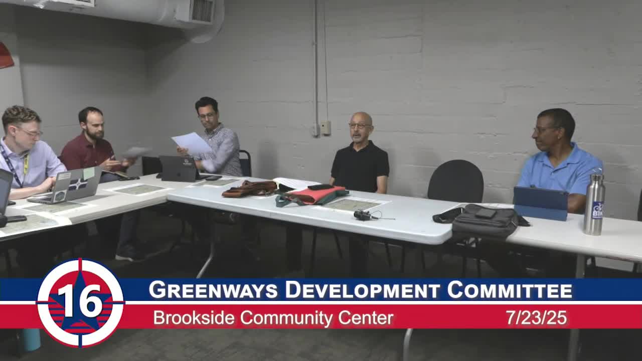
Greenways committee approves crowdsourced geotag map pilot, forms subcommittee to finalize rollout
Summary
The Indianapolis Greenways Development Committee voted to publish a crowdsourced geotag map asking trail users to identify needs such as restrooms and water, and appointed a subcommittee to finalize the map and outreach plan.
The Indianapolis Greenways Development Committee voted July 23 to publish a crowdsourced geotag map for trail amenities and to appoint a subcommittee to finalize an alpha version and assist with outreach.
Committee members described the proposal as a way to let trail users photograph and mark locations on a map — identifying potential needs such as restrooms, water fountains, bike racks and trash receptacles — and then allow the committee to screen submissions before sharing results with planners and agency staff. The map is intended to augment an existing Metropolitan Planning Organization (MPO) facilities map by collecting on-the-ground user reports rather than only recording facilities the MPO already lists.
Committee members said the map would be a public-engagement tool, not a promise of immediate construction or maintenance. Members discussed privacy safeguards for contributed photos and contact information, and agreed the map should not publish contributors’ personal data. They also discussed phasing the work so that initial submissions are limited to photos and location tags, with verification and follow-up left for later steps.
During discussion members recommended targeted dissemination to runner, cyclist and walking groups and to use QR codes or links from the committee’s page on the city website and partner pages. Several members argued a time-limited window of public input would help focus the effort and reduce the volume of low-value reports.
A motion to disseminate the geotag mapping solution and to form a subcommittee to finalize the alpha version was moved, seconded and approved. The committee recorded a voice vote; members said “Aye” and the chair announced the motion carried.
The committee returned later in the meeting to approve the minutes from its prior meeting by voice vote.
Next steps described by staff and committee members included: assembling an outreach package (social-media graphic and short blurb), preparing a short list of amenity categories for submissions, implementing basic privacy rules for submissions (post photos but not contributor emails), and assigning the newly formed subcommittee to complete the technical alpha and coordinate placement of QR codes or links at targeted trail locations.
Why it matters: Committee members framed the map as a low-cost way to gather user input that could inform pilot projects — for example, temporary porta‑potties or agreements with nearby trail‑adjacent businesses — and to identify trails or trail segments that lack basic amenities. Staff and members emphasized the geotag project is a public‑engagement and data‑gathering step, not a commitment to build infrastructure.
What was not decided: The committee did not approve any construction, maintenance contracts, or municipal funding for new restroom facilities at this meeting. Members noted that permanent restroom construction has substantial capital and maintenance costs, and any such proposals would need separate study and approvals.
Votes at a glance: - Motion to disseminate geotag mapping solution and form subcommittee — approved (voice vote; individual tallies not recorded in the minutes). - Approval of minutes from prior meeting — approved (voice vote).
Implementation notes and next steps provided at the meeting included preparing outreach materials, limiting the initial public submission window, and having the subcommittee finalize the alpha map and a simple category list (restroom, water, bike rack, trash, “other”).