Get Full Government Meeting Transcripts, Videos, & Alerts Forever!
Get email alerts on the Geographic Information Systems topic
No spam. Unsubscribe anytime.
Council authorizes no‑cost GIS data‑sharing agreement with Nassau County
Summary
The council authorized an intermunicipal agreement giving city staff access to Nassau County's advanced GIS platform at no cost; access is limited to licensed municipal staff and includes up‑to‑date aerial photography and vertical measurement tools.
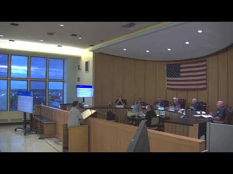
The Long Beach City Council on Aug. 19 authorized an intermunicipal agreement (IMA) with Nassau County to give city staff access to an advanced geographic information system (GIS) platform at no cost to the city.
Ken Arnold, one of the staff presenters, described the county offering as "Google Earth on steroids," saying the platform provides street‑level photography that is more current than public Google imagery and includes tools for vertical measurements and drawing features. Arnold said the county pays extra for up‑to‑date photography and that the application will be restricted to municipal staff with full Esri licenses.
Council members asked how this differs from the public county GIS mapping. Arnold replied the county’s web map shows mapped layers, whereas the additional application provides current street‑view photography with measurement tools and other advanced capabilities.
City staff said there will be no charge to the city for access under the IMA, and the platform will be available only to municipal workers with appropriate Esri software licenses; the public will not have direct access through this arrangement. The council approved the IMA as part of routine agenda approvals.
City staff said the platform is expected to benefit the department of public works, tax assessor, planning department and other city staff who need current imagery and measurement tools for field work and permitting.