Get Full Government Meeting Transcripts, Videos, & Alerts Forever!
Get email alerts on the Environment Salmon topic
No spam. Unsubscribe anytime.
Scientists, Fish & Wildlife Commission ask Mat-Su Assembly to classify borough parcels as watershed lands to protect Deshka River cold-water refugia
Summary
A presenter summarized 20 years of temperature monitoring and mapping on the Deshka River, asked the assembly to direct staff to reclassify 13 borough parcels as watershed lands to help protect cold-water inflows that provide salmon refugia, and the assembly indicated support for sending the request to the planning department.
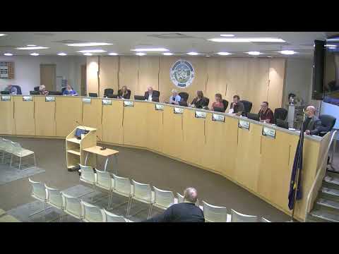
A scientist who led temperature monitoring and mapping work on streams across Cook Inlet told the Matanuska-Susitna Borough Assembly on Aug. 5 that the Deshka River system contains extensive groundwater-fed cold-water refugia that are important for Chinook salmon and other fish. The presenter asked the assembly to direct the borough planning department to classify 13 borough-owned parcels as watershed lands to help preserve those inflows.
Presenter context and findings: Sue Mogher (former science director and keeper at a local research organization) told the assembly she and partners have recorded long-term stream-temperature trends across the Mat-Su Basin and used aerial thermal mapping and ground-truthing to locate more than 250 groundwater inflows in the Deshka mainstem. She said some parts of the Deshka currently reach or exceed 20°C (68°F)—a state water-quality threshold—during warm summers and that 2019’s heat produced temperatures comparable to or warmer than model projections for mid-century.
Mogher described how thermal mapping shows the Deshka cooling downstream because many groundwater-fed inflows lower main-channel temperatures, creating cold-water refugia that juvenile and migrating salmon use. She said 13 borough parcels contain refugia and that classifying those parcels as “watershed lands” in borough land-classification code would place nonregulatory markers on borough records that remind future decision-makers of those values. Mogher told the assembly: “This is what I'm bringing you tonight ... many years of conversation, and research ... trying to understand how best to bring science, our local science, … to some kind of conservation outcome.”
Request to assembly: Mogher and supporters asked that the assembly direct the planning department to proceed with classification of the 13 borough parcels and noted that the Fish & Wildlife Commission had adopted a supporting resolution. An assembly member thanked her for the field work and asked questions about whether low snowpack contributed to high summer temperatures; Mogher replied that by July the snow signal is gone and landscape factors determine summer temperatures.
Why it matters: The Deshka River historically supported Chinook runs important for local anglers and subsistence; warming stream temperatures can block upstream migration and reduce survival. Classifying borough-owned parcels as watershed lands would not itself impose new private land use restrictions, but supporters said it would add policy context for future decisions about borough lands that touch these refugia.
Next steps: Mogher concluded by asking for formal direction to the planning department to pursue the classification. The assembly expressed support and the mayor indicated the request would be forwarded to the planning department for action. Staff and commission documents referenced in the presentation are available in the meeting packet and informational memoranda.
Ending: The assembly heard the presentation, asked clarifying questions about drivers of stream warming, and accepted the commission’s request to direct the planning department to pursue reclassification of the identified borough parcels.