Get Full Government Meeting Transcripts, Videos, & Alerts Forever!
Get email alerts on the Transportation topic
No spam. Unsubscribe anytime.
Commission adopts three resolutions adding subdivision roads to county transportation map
Summary
Uintah County commissioners approved three resolutions to accept roads in Stonebrook, Briar Creek and Basin Acres subdivisions and add them to the county transportation map so they can be addressed by public works.
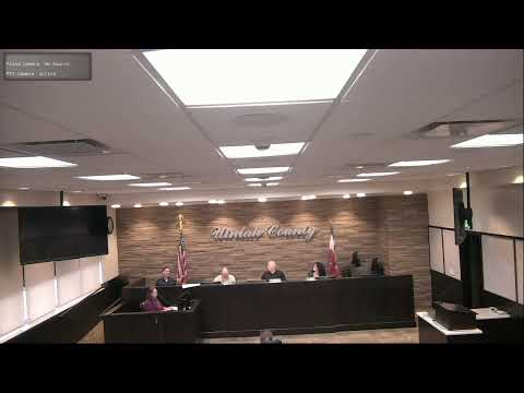
The Uintah County Commission adopted three resolutions accepting roads in new subdivisions and adding them to the county transportation map.
Matthew Gearing of the county GIS office presented Resolution 08202025R1 to accept 3950 South in the Stonebrook subdivision; Resolution 08202025R2 to accept 1550 South in the Briar Creek subdivision; and Resolution 08202025R3 to accept 1940 South and 2000 South in the Basin Acres subdivision. Commissioners noted the county road crew and road boss had inspected the roads and confirmed they were built to state specifications. One commissioner described the approximate locations: the Stonebrook road is near 4000 South on Fifth West, Briar Creek’s 1500 South extends west from Fifth West into new homes, and the Basin Acres roads are south-southeast of the Vernal Cemetery and connect to Brynn Meadows.
Each resolution was moved, put to a voice vote and recorded as passed with ayes in the transcript.