Get Full Government Meeting Transcripts, Videos, & Alerts Forever!
Plan commission approves certified survey map to combine parcels for transit center; finalization awaits council street discontinuance
Summary
The Appleton City Plan Commission approved CSM No. 1325 to combine city-owned parcels, a portion of Oneida Street right-of-way and an unnamed alley to support a proposed transit center. Staff said the map will be finalized only after the Common Council discontinues the Oneida Street and alley right-of-way.
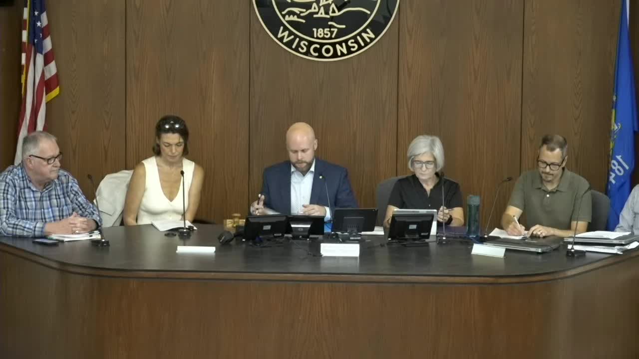
The Appleton City Plan Commission on Aug. 13 approved Certified Survey Map No. 1325 to combine two city-owned parcels, a portion of Oneida Street right-of-way and an unnamed alley north of Washington Street and south of Franklin Street to prepare the site for a proposed transit center.
City planning staff presented the item, identified on the agenda as 25-0916, describing the map as an administrative alteration of land for city-owned property tied to the transit center development. “The item before the plan commission today, as mentioned, is for the review…
Already have an account? Log in
Subscribe to keep reading
Unlock the rest of this article — and every article on Citizen Portal.
- Unlimited articles
- AI-powered breakdowns of topics, speakers, decisions, and budgets
- Instant alerts when your location has a new meeting
- Follow topics and more locations
- 1,000 AI Insights / month, plus AI Chat