Get Full Government Meeting Transcripts, Videos, & Alerts Forever!
Get email alerts on the Rezoning And Affordable Housing topic
No spam. Unsubscribe anytime.
RST Development seeks NACPD rezoning for 7591 Annapolis Road, pledges mostly affordable housing and community space
Summary
RST Development LLC asked Prince George’s County to rezone a 4.29-acre site at 7591 Annapolis Road from NAC to NACPD to permit a multifamily project of up to about 300 units, proffering that roughly 98% of units be affordable at 60% of AMI and offering 3,000 square feet of space for a nonprofit or community use.
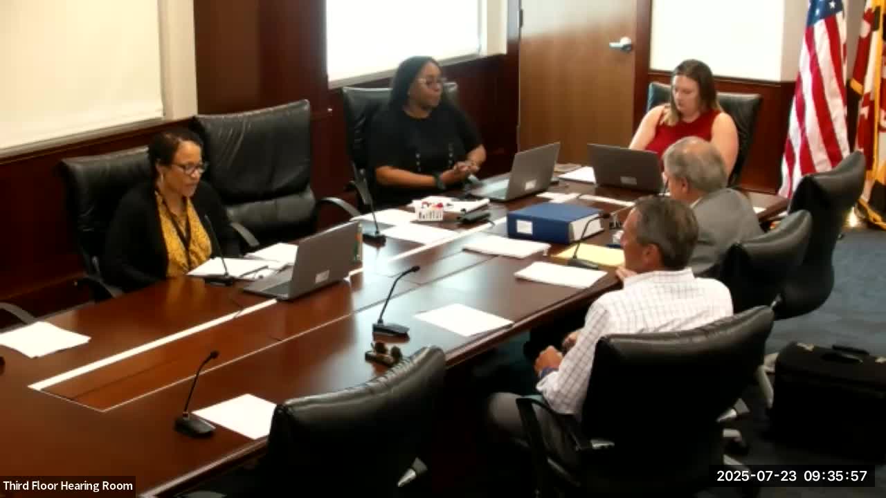
A Prince George’s County zoning hearing on July 23 heard RST Development LLC’s request to rezone a 4.29-acre property at 7591 Annapolis Road from Neighborhood Activity Center (NAC) to NAC Plan Development (NACPD). The applicant presented a concept for a multifamily building of up to about 300 dwelling units, a roughly 3,000-square-foot space intended for either a nonprofit tenant or community meeting use, and public-benefit commitments including affordable housing and electric-vehicle charging infrastructure.
The applicant’s attorney, Thomas Haller of Gibbs & Haller, opened the applicant’s case by describing the rezoning request and the existing site, saying, “This application seeks to rezone a 4.29 acre parcel of property located at 7591 Annapolis Road from the NAC zone to the NACPD zone.” Haller also read the draft PD conditions proffered by the applicant, including the affordable-housing commitment and the community-use space.
Why it matters: the rezoning would allow a planned development with design flexibility the applicant says is needed to produce the proposed building and public-benefit features. The project would be sited near transit and major roadways (including the Purple Line corridor and the New Carrollton station area), and the applicant argues the site suits multifamily development and on-site community programming. Neighbors raised concerns about tree loss, pedestrian connections to the adjacent West Lanham Hills Park, and additional multifamily density in a corridor where several recent projects have been built.
Proposal, public-benefit commitments and timing
Scott Copeland, principal and managing member of RST Development LLC, told the examiner RST’s proposal would reserve the vast majority of units as long-term affordable housing: “These units will be reserved for households that earn…60% of the area median income.” Thomas Haller read proposed PD condition 1 into the record: the applicant would provide affordable housing with rents set at an average of 60% of the Greater Washington, D.C. metropolitan statistical area AMI and “at least 98% of the residential units of the proposed development shall be affordable to these specifications.”
Copeland said the project team intends to record a land-use restriction tied to financing (for example, low-income housing tax credit covenant) to secure affordability, explaining those covenants are typically recorded at closing when financing is finalized. The applicant and staff discussed a statutory county requirement that covenants required by the district council be recorded before later development steps; the applicant asked that timing be set at a later entitlement stage because lenders typically need covenants at financing closing. The applicant also noted county legislation (identified in the record as CB-66-2025) might change the timing rules.
Public-benefit features the applicant proffered in written conditions and testimony include: - Affordable housing: at an average of 60% AMI for roughly 98% of units (applicant to reserve a small number of units for on-site staff/management/security if needed); the record includes current 60% AMI figures (1-person $68,880; 2-person $78,720; 3-person $88,560; 4-person $98,340; 5-person $106,260; 6-person $114,120) and the examiner asked that the AMI table be submitted into the record as an exhibit. - Community/nonprofit space: a 3,000-square-foot area to be leased to a nonprofit or finished and made available as community meeting space for local groups if a suitable nonprofit tenant is not identified. - Electric-vehicle charging: commitment to install 20 EV charging parking spaces initially and make another roughly 50 spaces EV-ready for future growth.
Design standards, requested modifications and planning-board review
The applicant requested NACPD intensity and dimensional modifications for this basic plan including a proposed maximum block length of 1,043 feet (the existing block as measured across surrounding streets), a minimum build-to line of 30 feet and maximum of 55 feet along Annapolis Road (instead of the NAC base 15–35 foot range), and a proposed maximum building height of 66 feet (the NAC base maximum is 60 feet). The project team said the requested modifications respond to site topography, nearby building setbacks, and a desire to site a public forecourt and open-space plaza along Annapolis Road.
Architect Nicholas Hill (Niles Bolton Associates) presented concept massing showing the building stepping down toward the single-family residential neighborhood to the south. Hill said the portions of the building that exceed the 60-foot limit would be limited and oriented toward Annapolis Road; the design also steps heights at 150- and 200-foot transitional ribbons to reduce the building mass toward the adjacent homes.
The applicant also requested modifications to neighborhood-compatibility standards: a waiver related to roof type (allowing flat roofs rather than matching adjacent single-family house roofs) and a waiver allowing balconies on the rear of the building that would face the nearby single-family area. Planning board recommended approval of some of the modifications (the record lists planning board recommendations and the applicant noted the planning board did not accept one applicant-proposed condition but recommended the core conditions that now appear in the proffered PD conditions). During testimony the applicant withdrew its request to modify the cross-access/interconnectivity requirement after park-and-planning staff and the planning board discussed preserving future redevelopment options for neighboring parcels.
Traffic and access
Traffic consultant Michael Lenhart testified that the rezoning proposal would generate fewer peak-hour trips than the amount of development that could be built under the site’s existing NAC zoning (or under older C-2 uses); his analysis followed the county’s guidance for zoning map amendment transportation reports. Lenhart concluded the rezoning would not increase expected traffic beyond the current zoning potential on the county’s master-plan roads.
Trail connection and woodland preservation
Landscape architect Chanda Steckler Beaufort (BICA Maryland) and the land planner, Mark Ferguson, testified about the steep wooded slope at the rear (south) of the site and an existing informal trail connection from 70 Seventh Avenue into West Lanham Hills Park. Beaufort presented feasibility sketches showing that building an Americans with Disabilities Act–compliant connection down the steep rear slope would require substantial earthwork and would remove a large portion (roughly three-quarters or more in the applicant’s estimate) of the existing woodland buffer. She told the examiner the options would require a series of switchback ramps and retaining walls. Beaufort said the applicant evaluated two trail options and concluded neither is practicable without significant tree removal and cost; she testified, “We have evaluated the feasibility of making this connection and have concluded that it really isn’t practically feasible.” The applicant asked that the planning board’s recommendation for a trail connection be revisited in light of the woodland impacts, and park-and-planning ownership of some adjoining parcels would affect where a connection could be placed.
Public comments and neighborhood concerns
Amanda Grama, a West Lanham Hills resident who submitted written comments (admitted as an exhibit), spoke during public comment. She said she represents herself (she noted she could supply a letter if she were to speak on behalf of the neighborhood association) and expressed concern that the area is “oversaturated in our area with apartments” and noted vacancy rates in recent projects. Grama also opposed the proposed trail connection because of tree loss: “the rest of the trees were taken from the Purple Line construction and the recent apartments…we really don’t have any trees in the neighborhood except for that buffer between the proposed development site and our neighborhood.” She also asked that any on-site community space be made available to local groups.
No final decision recorded
This hearing was the applicant’s presentation and witness testimony; no final district council decision was made at the hearing. The examiner and parties discussed record exhibits, the proffered PD conditions (including affordable-housing assurances), planning-board recommendations, and the technical tradeoffs between providing a direct trail connection and preserving existing woodland buffers. The examiner asked the applicant to submit the current AMI figures into the record before the hearing record closes.
What’s next
The hearing record remains open for the exhibits and any directed filings. The Zoning Hearing Examiner and district council will evaluate the basic plan, PD conditions, planning-board recommendations, and public testimony before issuing any recommendation or order; the record contains the applicant’s proposed PD conditions and the planning board resolution referenced as exhibits.
Ending
At the July 23 proceeding the applicant presented proffers intended to secure a predominantly affordable multifamily building and on-site community space while seeking PD design flexibility to address topography and frontage along Annapolis Road. Neighbors urged caution about tree loss and cumulative multifamily development in the corridor. The record includes technical exhibits on AMI, building massing, traffic analysis, open-space set-aside, and two feasibility studies for a trail connection; those exhibits will be considered along with testimony as the county proceeds with its review.