Get Full Government Meeting Transcripts, Videos, & Alerts Forever!
City rolls out Genesis Protect evacuation map and field tool; public-facing zones now live
Summary
Emergency services staff demonstrated Genesis, a field and public evacuation mapping platform. Santa Barbara’s internal Genesis tool and the public Genesis Protect map are live, with 126 city evacuation zones, Ready SBC integration and planned outreach; Spanish language support is pending.
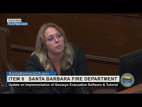
Stacy Rosenberger, the city’s emergency services manager, told the Fire and Police Commission that the city’s Genesis evacuation mapping system is live for internal use and that the public‑facing Genesis Protect map is available now and integrated with Ready SBC.
Rosenberger said Genesis is an internal platform for first responders and emergency managers that enables field commanders to map evacuations, warnings and shelter‑in‑place areas and push visualizations to the public. "Genesis is our internal platform for first responders and emergency managers ... that is utilized for evacuation mapping software and allows us to within the field make decisions on emergency protective measures and quickly push that out to…
Already have an account? Log in
Subscribe to keep reading
Unlock the rest of this article — and every article on Citizen Portal.
- Unlimited articles
- AI-powered breakdowns of topics, speakers, decisions, and budgets
- Instant alerts when your location has a new meeting
- Follow topics and more locations
- 1,000 AI Insights / month, plus AI Chat