Get Full Government Meeting Transcripts, Videos, & Alerts Forever!
Get email alerts on the Emergency Management Evacuation topic
No spam. Unsubscribe anytime.
City rolls out Genesis Protect evacuation map and field tool; public-facing zones now live
Summary
Emergency services staff demonstrated Genesis, a field and public evacuation mapping platform. Santa Barbara’s internal Genesis tool and the public Genesis Protect map are live, with 126 city evacuation zones, Ready SBC integration and planned outreach; Spanish language support is pending.
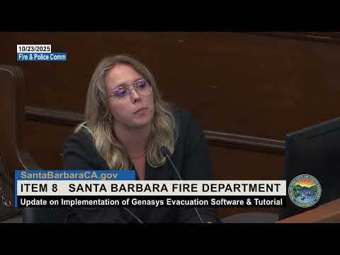
Stacy Rosenberger, the city’s emergency services manager, told the Fire and Police Commission that the city’s Genesis evacuation mapping system is live for internal use and that the public‑facing Genesis Protect map is available now and integrated with Ready SBC.
Rosenberger said Genesis is an internal platform for first responders and emergency managers that enables field commanders to map evacuations, warnings and shelter‑in‑place areas and push visualizations to the public. "Genesis is our internal platform for first responders and emergency managers ... that is utilized for evacuation mapping software and allows us to within the field make decisions on emergency protective measures and quickly push that out to the community in a visual format," she said.
The city refined its zones from 42 to 126 to make evacuations more targeted; the speaker said zones follow major roads where practical, include exclusions such as Cottage Hospital, and were broken up to match multiple hazards (fire, flood, tsunami, hazardous materials and certain man‑made threats). Zones in the public map are labeled with jurisdictional prefixes (for example, STB for Santa Barbara City; SBC for Santa Barbara County; MTO for Montecito; GOL for Goleta). Rosenberger demonstrated that members of the public can enter an address or use location services in the Genesis Protect app or web map, save up to five zones to follow and receive push notifications when a saved zone’s status changes.
Rosenberger said Genesis Protect is not a replacement for Ready SBC alerts; the system is a visualization and routing aid to supplement official alerts. She noted the public map is not yet available in Spanish in the app, and said the city will include English and Spanish messaging in the zone status reason field when staff publish zone changes. Her office is coordinating outreach with the county, will use ReadySBC.org, the city website and social media, and plans a “know your way out” preparedness campaign in 2026.
Functionality discussed included preloading traffic control points and shelters, the ability to toggle planned traffic control points during an incident, and showing road closures in the map during events. Rosenberger said public works, police and fire can use the platform to display road closures and traffic control points, but that routine construction closures would generally not be shown unless the city elects to preload and toggle them for a specific event.
Commissioners asked how the commission could help publicize the tool; Rosenberger suggested encouraging residents to visit ReadySBC.org, sign up for alerts and download the Genesis Protect app. The app is available on Apple App Store and Google Play, she said. Rosenberger also demonstrated a live map view for downtown during the presentation.
The item was informational; commissioners did not take formal action on the item during the meeting.