Get Full Government Meeting Transcripts, Videos, & Alerts Forever!
Get email alerts on the Land Use Rezoning topic
No spam. Unsubscribe anytime.
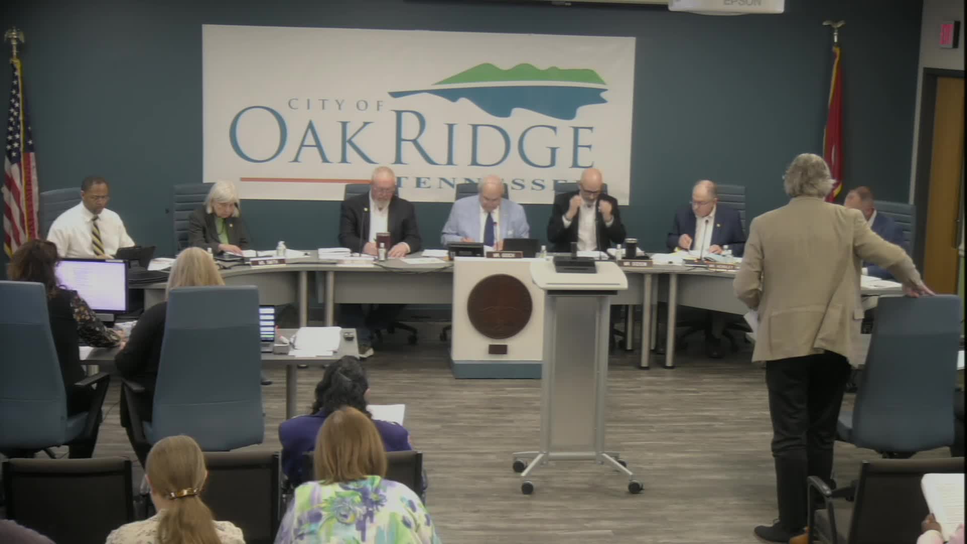
Oak Ridge council approves first reading to rezone former federal site at 350 Powerhouse Road after extended debate
Summary
City Council voted to approve on first reading a rezoning that would convert 375 acres at 350 Powerhouse Road from a federal industry designation to industrial with a large RG‑1 buffer after hours of questions from council, staff and public commenters about wetlands, deed restrictions and future uses.
Oak Ridge City Council approved on first reading an ordinance to rezone about 375 acres at 350 Powerhouse Road — a parcel that recently left federal ownership — from FIR (Federal Industry and Research) to an IND‑1 industrial designation, with a 600‑foot RG‑1 residential/open‑space buffer along the Clinch River and additional RG‑1 designation on a southeastern portion of the site.
The vote on first reading followed nearly two hours of council questions and public comments about deed restrictions, wetland and floodplain protections, and the current use of the property by Carbon Rivers for storage and processing of decommissioned wind turbine blades.
The change matters because it will replace a federal zoning label that applied while the property was federally owned and set the city’s regulatory framework for future private uses. Staff and the Planning Commission offered different maps: the owner sought bands of IND‑1 and IND‑2, while the Planning Commission recommended the council’s adopted map of IND‑1 for most of the site with a broad RG‑1 buffer and RG‑1 on the southeast quadrant. Council voted to adopt the Planning Commission recommendation for first reading.
Ms. Williams, a city planning staff member who reviewed the applications for Council, outlined three maps in the packet: the applicant’s request (a 200‑foot IND‑1 band along the river, IND‑2 elsewhere for roughly 275 acres), the Planning Commission recommendation (600‑foot RG‑1 buffer and IND‑1 for the remainder) and staff’s more general recommendation that industrial zoning was appropriate but that a less intensive buffer should be used adjacent to the large residential subdivision across the river.
Sarah Johnson, an attorney representing Powerhouse Land LLC and Carbon Rivers Inc., told Council the barge terminal on the parcel is actively used and emphasized limits the property’s suitability for housing, citing DOE deed restrictions and an existing 10‑foot dig restriction. “The barge that is located there is in use,” Johnson said, and she urged Council to consider the deed restrictions when choosing a zone.
Several council members pressed staff about precise boundaries, buffer widths and what portions of the site include wetlands, a barge terminal and a parcel still owned by the Department of Energy. Council member Dodson asked for the width of the applicant’s proposed bands; Williams said the applicant’s band at the riverbank was 200 feet and that the Planning Commission’s recommended RG‑1 buffer was 600 feet. Council members also asked staff to explain IND‑1 and IND‑2 zoning differences, and Williams read the ordinance definitions into the record: IND‑1 is described in the code as a light industrial district intended for light manufacturing, warehousing and distribution with controlled external effects; IND‑2 allows heavier industrial uses and “moderate external effects.”
Residents and environmental advocates urged the council to protect wetlands and the Clinch River. Kelly Thompson, a nearby resident, said she attended multiple Planning Commission meetings and joint sessions with state regulators and asked Council to preserve the wetland and wildlife areas. “My biggest concern is protecting the wetlands, the wildlife and the Clinch River,” Thompson said.
Council members debated whether a buffer labeled RG‑1 — a residential/open‑space designation that allows conservation and recreation uses but can include the word “residential” in its name — was the best available tool given limits in the city code. Several council members and staff observed the city code lacks a private open‑space or conservation zone that would otherwise fit the owners’ and residents’ concerns. Council member Hazler noted the city’s current zoning ordinance is limited in protecting waterfront areas and said RG‑1 was the best available option for a protective band under the current code.
City staff also told Council that if the property is zoned industrial, certain uses such as a solid‑waste transfer or recycling center would require Board of Zoning Appeals (BZA) approval and that state law and the ordinance allow the BZA to set conditions — for example, vegetative buffers or fencing — when granting special exceptions. Williams noted the ordinance requires an 8‑foot fence for the specified solid‑waste uses and that the BZA may add conditions related to public health and safety.
Council members raised the nearby 38‑acre ash disposal area still owned by DOE and asked whether the city should pre‑zone that parcel in the comprehensive plan so a future transfer would not leave a regulatory gap. Staff said policy language could be included in the forthcoming comprehensive‑plan update but that the city cannot zone federally owned land until it is transferred.
After the public comment period and final discussion the motion before Council was to adopt the Planning Commission’s recommendation on first reading: rezone the parcel to IND‑1 with RG‑1 buffer (600 feet) including the Planning Commission’s yellow‑outlined areas on the southeast portion of the map. Council voted to place the ordinance on first reading and to return for a required second reading.
Council members and staff said the second reading will provide an opportunity to revisit details after additional study and that future site‑specific uses could be subject to BZA review and conditions. The Planning Commission’s map and staff’s packet materials remain part of the public record for the second reading, when the public hearing required by state law will be held again.
The council vote on first reading does not itself authorize development; it sets the city’s zoning designation and triggers the next formal steps in the land‑use and permitting processes.