Get Full Government Meeting Transcripts, Videos, & Alerts Forever!
Get email alerts on the Uas Integration topic
No spam. Unsubscribe anytime.
MDOT expands drone demonstrations and beyond-visual-line-of-sight work for deliveries, inspections and emergency response
Summary
MDOT officials described demonstrations and infrastructure pilots that support beyond-visual-line-of-sight drone operations, said the department uses drones for airport inspections and emergency response, and argued drones can reduce inspection costs and increase worker safety.
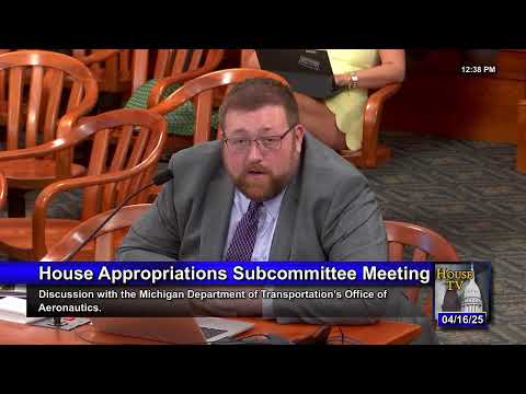
Brian Buds, head of MDOT’s Aeronautics Division, told the appropriation subcommittee that the department is advancing drone (UAS) operations across Michigan through demonstrations, infrastructure pilots and changes to automated weather and communications systems that support more complex operations.
Buds said MDOT’s UAS program began about six years ago and has grown from simple photography to supporting multiple agency missions. MDOT’s work includes: airport inspections and safety surveys; operation of automated weather observation stations (42 statewide) and upgrades to those stations; internal MDOT uses for survey and emergency response; and demonstrations of beyond-visual-line-of-sight (BVLOS) deliveries.
Examples Buds described include partnerships in the Upper Peninsula’s Detour Village area with Interlake Steamship Company and UAS infrastructure providers to demonstrate visual-line-of-sight and BVLOS movement of critical goods from shore to ships at sea, and a Detroit-area project around Michigan Central Station that uses radar and communications infrastructure to provide electronic situational awareness for drone operators. Buds said Michigan currently has about six demonstration sites testing last-mile and critical-parts deliveries, medical-supply runs and other small-scale logistics operations.
Buds noted regulatory limits still require visual line of sight for most operations, and that the federal government permits BVLOS when operators provide certain infrastructure (radar, communications) and obtain FAA approvals. He described the department’s guiding principle as “safe integration” of drones into the aviation system and said MDOT is focusing on safety, security and privacy while seeking the infrastructure needed to unlock broader economic use.
On cost-savings, Buds said an airport inspection program that once relied on three full-time inspectors (with personnel costs he described roughly as $150,000 per person, benefits included) can now use drones that cost roughly $3,000–$5,000 for similar survey tasks, while still requiring boots-on-the-ground for verification. He also cited examples of drone support for emergency response (ice-storm damage assessments) and for bridge inspection and roadside pesticide application conversations with highway engineers.
Representative Robinson, who identified himself as a Part 107 drone pilot, asked Buds to describe future uses; Buds listed bridge inspection, agricultural aerial application, roadside surveying, and expanded emergency-response data collection as priority uses.
Buds also described MDOT’s automated weather observation station upgrades funded by the legislature that modernize older dial-up systems, making data available to pilots and public weather services.
No regulatory actions or new rulemaking were taken at the meeting; Buds described ongoing pilot projects and infrastructure investments intended to support FAA approvals for more expansive drone operations.