Get Full Government Meeting Transcripts, Videos, & Alerts Forever!
Get email alerts on the Groundwater Monitoring topic
No spam. Unsubscribe anytime.
USGS: Elbert County Denver Basin water levels largely declining; report due this year
Summary
Elbert County commissioners met April 2 with USGS scientists to review a decade of groundwater monitoring and to discuss replacing missing wells, expanding monitoring and interpreting declining water-level trends across Denver Basin aquifers.
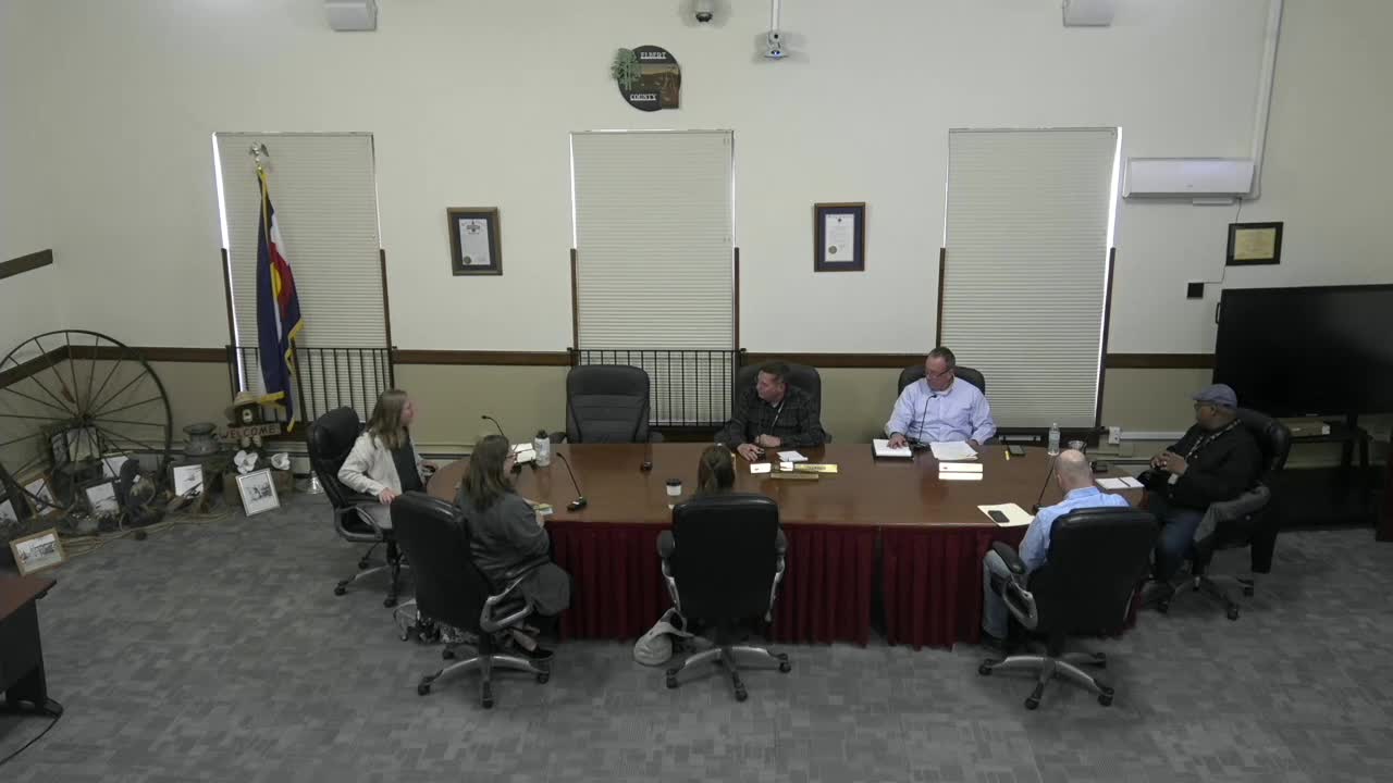
ELBERT COUNTY, Colo. — Elbert County commissioners met with scientists from the U.S. Geological Survey’s (USGS) Colorado Water Science Center on April 2 to review a decade of groundwater monitoring in the Denver Basin beneath the county and to discuss next steps for local water planning.
USGS staff summarized the county-scale monitoring effort, which analyzed water-level trends from 2015 through 2023 in the Denver Basin bedrock aquifers — the Upper Dawson, Lower Dawson, Denver, Arapahoe and Laramie-Fox Hills. Kelly (USGS scientist) said the network now includes about 31 wells (down from roughly 40 when monitoring began) and uses a mix of discrete measurements and two-hourly or hourly pressure-transducer sites to create continuous records.
The USGS presentation showed that most monitored wells and aquifers had declining water-level trends over the 2015–2023 period, with the largest magnitude decreases concentrated along Highway 86 and near the border with Douglas County. The USGS compared the current study period to an earlier USGS SIR (scientific-investigation report) that covered roughly 2015–2018 and said the longer record now (about 10 years) produces more statistically robust trend estimates.
Why it matters: County officials said the findings are important for land-use and development decisions. Commissioner Byron McDaniel stressed the board’s responsibility for protecting local water resources, saying, “We gotta be very careful. It’s what we do.” Commissioners pressed USGS staff for options to replace missing wells and for data they can use in comprehensive planning.
Key technical points USGS staff reported: - Aquifer coverage: the network includes approximately 9 wells in the Upper Dawson, 7 in the Lower Dawson, 5 in the Denver, 6 in the Arapahoe and 4 in the Laramie-Fox Hills aquifers; two wells in the Upper Dawson have continuous pressure transducers. - Measurement types: discrete (manual tape) measurements supplement continuous pressure-transducer records; after site visits USGS uploads data to the National Water Information System (NWIS) where it is publicly available. As Kelly said, “After each site visit, these data are uploaded to our website, the National Water Information System, we call it NWIS.” - Trend magnitude: the earlier SIR showed maximum trends near 5 feet per year at some sites; the current study’s maximum recorded decreasing trend was about 3 feet per year (USGS noted this depends on which time-period and wells are included). - Spatial pattern: the largest magnitude declines were reported near Highway 86 and the Douglas County border.
Report status and data access: USGS staff said the new scientific-investigation report (SIR) that summarizes methods and numeric trend results is in editorial review with USGS publishing staff and could be published on the web in the coming months (staff said “potentially in the summer”). USGS offered to provide a limited courtesy draft to county staff before public release and pointed commissioners to NWIS for access to the raw and processed water-level records.
Commissioner questions and county direction: Commissioners asked whether the current monitoring network is adequate and requested guidance on restoring and expanding sites that have dropped out of the program. USGS staff said they cannot prescribe management policy, but they can assess the network, propose possible monitoring coverage options, and describe alternative scientific approaches for the county to consider. Alternatives discussed included: - Updating groundwater models (referencing previous Denver Basin modeling work), focused local modeling tied to county needs. - Groundwater-age tracing to estimate how quickly water moves through the system and to identify aquifer vulnerability. - Direct estimates of aquifer storage to convert level-change trends into volumetric storage change.
USGS staff and commissioners discussed practical issues: many monitoring wells are on private property, and maintaining sites requires outreach to landowners; there is no formal automatic county notification for abrupt groundwater changes in the current monitoring arrangement; and county staff do not include a dedicated groundwater specialist, which commissioners said limits their capacity to interpret the data in planning.
Next steps agreed in the meeting: USGS will provide the county with the numerical trend tables and can offer a limited prepublication draft of the SIR for internal review. Commissioners asked USGS to help produce options to bring additional wells back online (the county and USGS would coordinate replacement site selection). The parties agreed to continue the technical discussion and to schedule follow-up meetings as the county compiles specific questions about the scope of work and monitoring needs.
No formal county action (motions or votes) were recorded during this presentation; the meeting was a technical briefing and discussion.
Ending: County officials said the data and near-term report will inform updates to the county’s comprehensive plan and development reviews. USGS staff reiterated willingness to continue the partnership and to provide data and analytic options to help the county decide whether to expand monitoring, pursue modeling, or commission additional analyses.