Ivins adopts annexation-policy map, adds long-term open-space language for two areas
Loading...
Summary
Ivins City Council voted unanimously April 17 to adopt an updated annexation policy plan and map as an amendment to the general plan, adding language that the city’s long-term intention is to retain Areas 1 and 4 as open space and clarifying the plan is not an automatic intent to annex.
Ivins City Council voted unanimously Thursday to adopt Ordinance 2025-09, the city’s annexation policy plan and map, after adding text clarifying that Areas 1 and 4 are intended for long-term preservation as open space.
The measure, approved by roll call, amends Ivins’ general plan to show where the city would consider annexation if requested by property owners and if future proposals align with city goals. Council members said the added language and a supplemental paragraph on the map will make clear the document is a planning tool, not a commitment to annex.
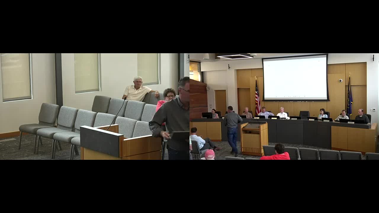
The planning commission had conducted an independent public hearing and forwarded the recommendation to the council. At Thursday’s public hearing, several residents, including Robert Rausch, asked whether the map had changed since the commission’s review. Planning staff confirmed there were no map changes. Residents and council members spent substantial time discussing Section 6 land in Area 4 — land that participants described as largely public-conservation acreage and difficult to develop without changes to state or federal rules.
Council discussion focused on two related points: (1) keeping the area on the annexation map gives the city notice and standing to participate in future annexation or boundary discussions, and (2) stronger text in the plan could signal the city’s long-term preference that the land remain open space. Council agreed to add a short paragraph to the statement of purpose (page 3) clarifying the plan is a “proactive planning tool” and to add explicit language that Areas 1 and 4 are intended for long-term retention as open space.
The ordinance was moved by Council Member Anderson and seconded by Council Member Gillespie. Roll-call votes recorded Anderson, Gillespie, Smith and Scott as voting “Aye.” The motion carried unanimously; Council Member Barton was excused.
Why it matters: Council members said keeping the parcels on the map preserves the city’s ability to monitor and, if necessary, dispute future annexation proposals. Supporters of adding the “long-term open space” language said it will help reassure neighbors that the city prefers to preserve the character of those lands and will guide future policy decisions.
The council also asked staff to include clarifying map-level language explaining that inclusion on the annexation map is not a city commitment to annex and to publish that language in the plan and on the map for public reference.
What’s next: With the ordinance adopted as amended, staff will publish the revised plan and map. Any future annexation petitions would follow the city’s standard application and public-notice procedures and could be subject to formal city review and potential intergovernmental boundary processes if contested.