Get Full Government Meeting Transcripts, Videos, & Alerts Forever!
Skagit County demos Street Smart imagery and LiDAR system to map 800 miles of county roads
Summary
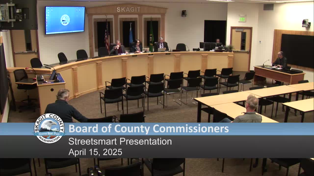
Skagit County Public Works demonstrated Street Smart, a CycloMedia platform that pairs 360-degree photography with LiDAR, to the Board of County Commissioners on April 15 as a tool to inventory and measure roadway assets across the county.
Skagit County Public Works demonstrated Street Smart, a CycloMedia platform that pairs 360-degree photography with LiDAR, to the Board of County Commissioners on April 15 as a tool to inventory and measure roadway assets across the county.
The presentation, led by Given Coutts of the traffic engineering section in Skagit County transportation planning, outlined how the county contracted CycloMedia in late 2020 to collect imagery and LiDAR of county roads and has used the data to reduce field visits, speed engineering work and populate the county's asset-management system.
Street Smart combines high-resolution, street-level photos taken about every 5 meters (roughly every 15 feet) with LiDAR point-cloud data that can be used to measure distances, widths and heights in three axes. Coutts said the system covers approximately 800 centerline miles of roadway under county jurisdiction and was collected initially in winter 2020 with follow-up collection in spring 2021; some locations also have imagery from 2023. He said the system is accurate enough in urban areas to approach within about 4 centimeters of…
Already have an account? Log in
Subscribe to keep reading
Unlock the rest of this article — and every article on Citizen Portal.
- Unlimited articles
- AI-powered breakdowns of topics, speakers, decisions, and budgets
- Instant alerts when your location has a new meeting
- Follow topics and more locations
- 1,000 AI Insights / month, plus AI Chat