Get Full Government Meeting Transcripts, Videos, & Alerts Forever!
Get email alerts on the Transportation Asset Management topic
No spam. Unsubscribe anytime.
Skagit County demos Street Smart imagery and LiDAR system to map 800 miles of county roads
Summary
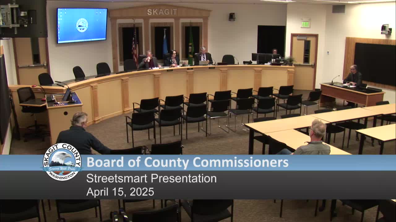
Skagit County Public Works demonstrated Street Smart, a CycloMedia platform that pairs 360-degree photography with LiDAR, to the Board of County Commissioners on April 15 as a tool to inventory and measure roadway assets across the county.
Skagit County Public Works demonstrated Street Smart, a CycloMedia platform that pairs 360-degree photography with LiDAR, to the Board of County Commissioners on April 15 as a tool to inventory and measure roadway assets across the county.
The presentation, led by Given Coutts of the traffic engineering section in Skagit County transportation planning, outlined how the county contracted CycloMedia in late 2020 to collect imagery and LiDAR of county roads and has used the data to reduce field visits, speed engineering work and populate the county's asset-management system.
Street Smart combines high-resolution, street-level photos taken about every 5 meters (roughly every 15 feet) with LiDAR point-cloud data that can be used to measure distances, widths and heights in three axes. Coutts said the system covers approximately 800 centerline miles of roadway under county jurisdiction and was collected initially in winter 2020 with follow-up collection in spring 2021; some locations also have imagery from 2023. He said the system is accurate enough in urban areas to approach within about 4 centimeters of ground truth.
Why it matters: County staff said the tool reduces the number of staff field trips needed to assess signage, light poles, striping, guardrails and other assets; supports pre-engineering in AutoCAD and Civil 3D by exporting point clouds; and feeds the county's Gizmo (ViewWorks) asset-management database used by the County Road Administration Board (CRAB). Coutts said Street Smart has allowed staff to identify low spots for drainage work, measure pole and utility-clearance heights and verify features such as catch basins without immediate travel to the site.
How it works and examples: Coutts demonstrated switching between aerial basemaps and street-level views, toggling LiDAR point clouds, and using measuring tools to capture GPS coordinates, linear distances, areas and heights. Using Street Smart's LiDAR-derived measurements, he gave examples including a pole height measured at 35.55 feet and an overhead line measured at 19.28 feet from the roadway. He showed before-and-after imagery from a location driven in both 2020 and 2023 to illustrate visible changes over time.
Integration and users: Coutts said 43 Public Works employees, 24 planning staff and 14 assessor's office staff currently have access and use Street Smart for tasks including desktop assessments, code enforcement checks and assisting detectives. He demonstrated how CycloMedia data integrates as an Esri GIS layer into the county's Gizmo/ViewWorks asset database so staff can click a sign or guardrail in Gizmo and open the Street Smart view to see the exact object in context.
Costs, cadence and data sharing: County staff described the initial CycloMedia run as a large one-time investment from road funds and said rerunning roads every three to five years would keep data current. Coutts and other staff said they are planning a proposed rerun in 2026 and are seeking to coordinate with municipal partners (Mount Vernon, Anacortes, Burlington) to reach a mileage threshold that produces a lower per-mile price. County staff estimated a rerun without coordination would cost on the order of $30,000 and, if pooled with city partners to exceed a mileage price break, closer to $15,000. Staff also said the county is working with CycloMedia and the prosecutor's office on legal and license frameworks to share data with consultants and utilities.
Limits and caveats: Coutts stressed the system does not see below the surface; buried features such as culverts and underground utilities are not captured. He said Street Smart cannot replace field verification entirely but can narrow where staff need to make site visits and provide coordinates for crews. Data is a time-stamped snapshot and more frequent drives are needed to track recent potholes or very recent changes.
Discussion and next steps: Commissioners and staff discussed the recommended update cadence and budget planning. Coutts said, "In a perfect world, 3 years, but I certainly recognize that maybe on a more of a 5 year cycle would be appropriate." He and other staff said they will pursue coordination with cities and explore consultant and utility access agreements. No formal action was taken during the meeting.
The County will accept public and intergovernmental feedback as staff develops a funding request and schedule for the proposed 2026 rerun and related data-sharing agreements.