Get Full Government Meeting Transcripts, Videos, & Alerts Forever!
Get email alerts on the Transportation topic
No spam. Unsubscribe anytime.
Regional traffic-count program finds George Washington Way among busiest corridors in Richland
Summary
The Benton-Franklin Council of Governments’ 2024 traffic-count program found several Richland locations among the region’s highest average daily traffic counts; George Washington Way had multiple high-count sites and some segments showed notable increases or decreases since 2016.
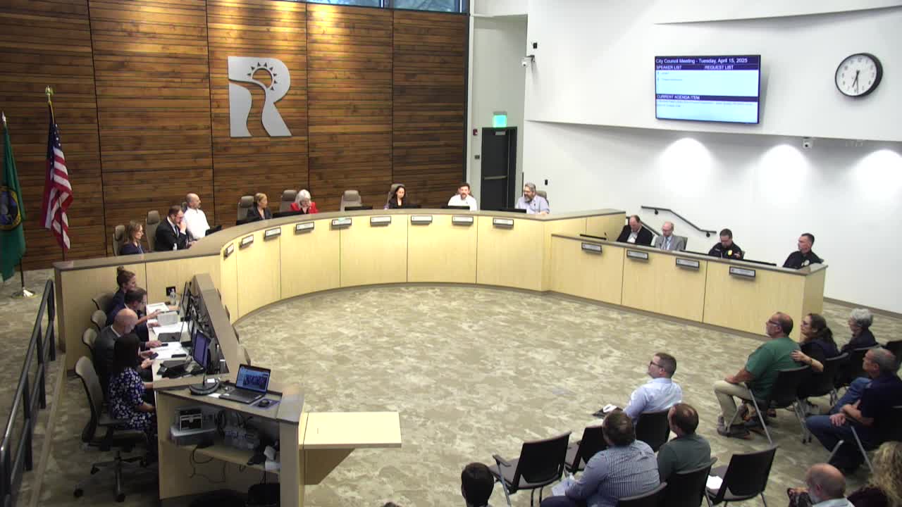
A regional traffic-count program led by the Benton-Franklin Council of Governments (BFCOG) found that 11 of the region’s top 25 highest average daily traffic locations are in the city of Richland, with multiple high-count sites on George Washington Way, Tanner Martin, a regional planner at BFCOG, told the Richland City Council on April 15.
The program, which began in 2016 and runs every two years, collected vehicle volume, vehicle type and speed at sites regionwide in midweek periods during spring and fall when school is in session, Martin said. "We collected traffic count data at 718 sites throughout the region in 2024, and 158 of those were in the city of Richland," he said.
In Richland, a comparison of 2016 to 2024 counts shows shifting travel patterns rather than uniform growth: George Washington Way south of Bradley Boulevard recorded the largest decrease in volume, while a Duportail (Dupertel) location south of Queensgate increased by about 10,000 vehicles per day, a roughly 68 percent rise compared with the first year data were collected at that site.
Martin said the analysis also examined heavy-vehicle percentages. George Washington Way south of Bradley Boulevard had nearly 15 percent heavy-vehicle use, while the Duportail location had about 10 percent heavy-vehicle share. Heavy vehicles were categorized broadly from transit and school buses to multi-axle freight movements.
The BFCOG count program uses bidirectional pneumatic tube counters placed at sites during midweek periods; two tubes allow the system to estimate vehicle speed and axle spacing to classify vehicle type, Martin explained in response to a question from Council member Joanna Jones about how heavy vehicles are identified.
Mayor Pro Tem Sandra Kent and others asked how the count results relate to long-range transportation planning. Aaron Bridal, metropolitan planning organization (MPO) director at BFCOG, said the agency is beginning an update to the metropolitan transportation plan (the long-range plan) and regional visioning work that will examine infrastructure options, including whether an additional bridge or an outer loop is warranted.
Council members discussed policy implications. Council member Meyer noted that traffic on some segments of George Washington Way has not returned to pre-pandemic levels and said the counts should inform design choices; other members expressed concern about rising heavy-vehicle percentages on some corridors.
Martin thanked local staff and council representatives for input on site selection; he said the BFCOG program is cost-effective for jurisdictions that pay dues to participate and hire a consultant to deploy and retrieve counters.